Isaias Expected To Be A Strong Hurricane Approaching The Northern Gulf Coast Friday
Isaias is expected to strengthen and be a strong hurricane when it approaches the northern Gulf Coast on Friday. Damaging hurricane-force winds and life-threatening storm surge impacts are expected Friday into Saturday. Isaias will bring heavy rainfall to the northern Gulf Coast and much of the Southeast U.S. Friday into the weekend. Read More >

Current conditions at
Chandler, Chandler Municipal Airport (KCQB)
Lat: 35.72°NLon: 96.82°WElev: 984ft.
Fair
57°F
14°C
| Humidity | 93% |
| Wind Speed | N 3 mph |
| Barometer | 30.05 in |
| Dewpoint | 55°F (13°C) |
| Visibility | 10.00 mi |
| Last update | 8 Oct 6:30 am CDT |
Extended Forecast for
6 Miles WNW Micawber OK
Today

High: 90 °F
Sunny
Tonight

Low: 62 °F
Clear
Friday
High: 90 °F
Sunny
Friday Night
Low: 62 °F
Clear
Saturday
High: 89 °F
Sunny
Saturday Night
Low: 64 °F
Clear
Sunday

High: 88 °F
Sunny
Sunday Night
Low: 69 °F
Clear
Columbus Day
High: 91 °F
Sunny
Detailed Forecast
Today
Sunny, with a high near 90. Light and variable wind.
Tonight
Clear, with a low around 62. Calm wind.
Friday
Sunny, with a high near 90. Calm wind becoming south around 6 mph in the afternoon.
Friday Night
Clear, with a low around 62. Calm wind.
Saturday
Sunny, with a high near 89. Calm wind becoming south around 5 mph in the afternoon.
Saturday Night
Clear, with a low around 64.
Sunday
Sunny, with a high near 88.
Sunday Night
Clear, with a low around 69.
Columbus Day
Sunny, with a high near 91.
Monday Night
Mostly clear, with a low around 68.
Tuesday
Sunny, with a high near 84.
Tuesday Night
A 20 percent chance of showers and thunderstorms. Mostly clear, with a low around 66.
Wednesday
A 30 percent chance of showers and thunderstorms. Mostly sunny, with a high near 83.
Additional Forecasts and Information
Basemap Options
Click map to change the forecast location
Loading map...
 Forecast Area
ABOUT THIS FORECAST
Point Forecast:
6 Miles WNW Micawber OK
35.64°N 96.64°W
35.64°N 96.64°W
1:36 am CDT Oct 8, 2026
6am CDT Oct 8, 2026-6pm CDT Oct 14, 2026


Additional Resources
Radar & Satellite Image
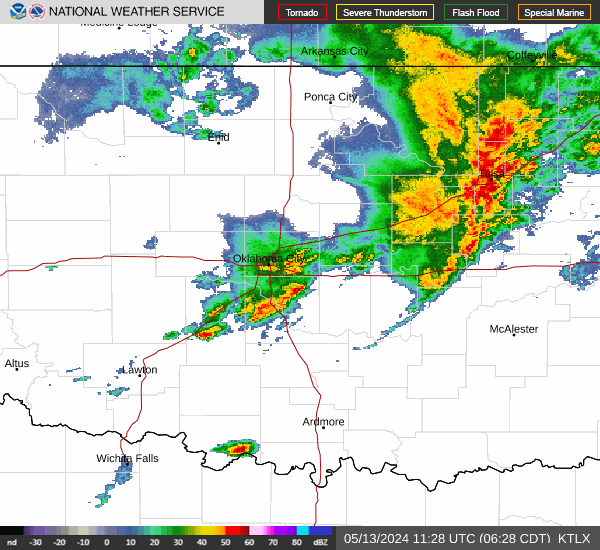

Hourly Weather Forecast