



Areas of Dangerous Heat and Severe Thunderstorms
Dangerous heat will persist across the Southwest U.S. through Friday with daytime highs of 110-115°F. Heat across the southern Plains will briefly ease to near-normal by late week before returning over much of the Plains into next week. Scattered strong to severe thunderstorms are possible across parts of the Northeast U.S. on Thursday. Damaging wind, hail, and a tornado or two are possible. Read More >

HOPI (QHIA3)
Lat: 35.86292°NLon: 110.61495°WElev: 5579.0ft.NA
80°F
27°C
| Humidity | 24% |
| Wind Speed | W 6 MPH |
| Barometer | NA |
| Dewpoint | 40°F (4°C) |
| Visibility | NA |
| Heat Index | 79°F (26°C) |
| Last update | 26 Aug 08:13 PM MST |
21 Miles ESE Keams Canyon AZ
Tonight

Low: 63 °F
Partly Cloudy
Thursday

High: 90 °F
Decreasing
CloudsThursday Night
Low: 62 °F
Partly Cloudy
Friday
High: 89 °F
Partly Sunny
Friday Night

Low: 62 °F
Slight Chance
T-stormsSaturday
High: 86 °F
Partly Sunny
then Chance
T-stormsSaturday Night
Low: 60 °F
Showers
Likely then
Chance
ShowersSunday
High: 82 °F
Chance
Showers then
Chance
T-stormsSunday Night
Low: 57 °F
Showers
Likely then
Chance
Showers
Detailed Forecast
 Forecast Area
ABOUT THIS FORECAST
35.76°N 109.84°W (Elev. 6568 ft)


Additional Resources
Radar & Satellite Image
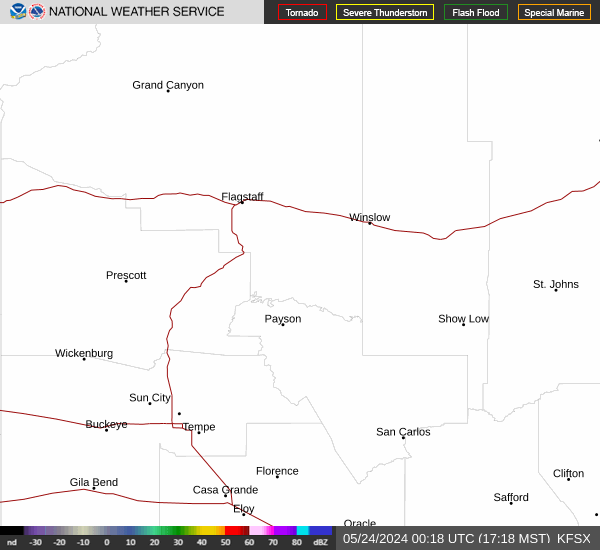

Hourly Weather Forecast


