Heat Builds in the West; Severe Thunderstorms and Heavy Rain in the Upper Midwest and Mid-Mississippi Valley; Extremely Critical Fire Weather in the Northwest on Saturday
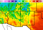
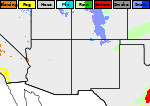
A heat wave over the Southwest will intensify this week, peaking and expanding into the Intermountain West and northern High Plains this weekend. Severe thunderstorms and heavy rainfall are expected over parts of the Upper Midwest to mid-Mississippi Valley today. Critical to extremely critical fire weather conditions from the Northwest and the northern Great Basin on Saturday and Sunday. Read More >

Las Vegas Municipal Airport (KLVS)
Lat: 35.66°NLon: 105.14°WElev: 6867ft.
Fair
75°F
24°C
| Humidity | 50% |
| Wind Speed | NW 14 mph |
| Barometer | 30.42 in (1016.4 mb) |
| Dewpoint | 55°F (13°C) |
| Visibility | 10.00 mi |
| Last update | 31 Jul 8:53 am MDT |
6 Miles ENE Tererro NM
Today
High: 67 °F
Isolated
T-storms then
T-storms
LikelyTonight

Low: 46 °F
T-storms
LikelySaturday
High: 63 °F
Severe
ThunderstormsSaturday Night
Low: 45 °F
Severe
Thunderstorms
then Mostly
ClearSunday
High: 67 °F
Sunny then
Chance
T-stormsSunday Night
Low: 48 °F
Slight Chance
T-storms then
Mostly ClearMonday
High: 72 °F
Sunny then
Chance
T-stormsMonday Night
Low: 49 °F
Slight Chance
T-storms then
Partly CloudyTuesday
High: 68 °F
Sunny then
Showers
Likely
Detailed Forecast
 Forecast Area
ABOUT THIS FORECAST
35.77°N 105.57°W (Elev. 11198 ft)


Additional Resources
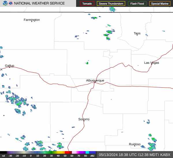
Radar & Satellite Image

Hourly Weather Forecast