

Extreme Heat Lingers; Severe Thunderstorms for Portions of the Plains and Southeast; Heavy Rainfall Threats

Gusty winds and heavy rainfall may impact the Big Island of Hawaii as a nearby tropical system passes west of the islands. From the Southwest U.S., Rockies and across the Gulf Coast, heavy rainfall could lead to isolated flash flooding. Severe thunderstorms are expected for areas of the Plains, Gulf Coast and Southeast through Tuesday. Extreme heat lingers for the southern Plains and Southwest. Read More >

Current conditions at

Jolon Hills (PG727)

Lat: 35.88446°NLon: 120.95584°WElev: 1495.0ft.

NA

88°F

31°C

Humidity 16%
Wind Speed SSE 3 MPH
Barometer NA
Dewpoint 37°F (3°C)
Visibility NA
Heat Index84°F (29°C)
Last update 24 Aug 12:20 PM PDT
Extended Forecast for

7 Miles WSW Lake San Antonio CA

  • This Afternoon

    This Afternoon: Sunny and hot, with a high near 97. Southwest wind 5 to 10 mph.

    High: 97 °F

    Hot

  • Tonight

    Tonight: Widespread haze after 2am. Patchy smoke after 10pm. Mostly clear, with a low around 61. Southwest wind 5 to 8 mph becoming calm.

    Low: 61 °F

    Patchy Smoke
    then Haze

  • Tuesday

    Tuesday: Areas of smoke before 3pm. Sunny and hot, with a high near 104. Calm wind becoming west southwest around 6 mph in the afternoon.

    High: 104 °F

    Areas Smoke

  • Tuesday Night

    Tuesday Night: Patchy smoke after 9pm. Partly cloudy, with a low around 63. West northwest wind around 6 mph.

    Low: 63 °F

    Patchy Smoke

  • Wednesday

    Wednesday: Sunny and hot, with a high near 104. Light north wind.

    High: 104 °F

    Hot

  • Wednesday Night

    Wednesday Night: Clear, with a low around 63.

    Low: 63 °F

    Clear

  • Thursday

    Thursday: Sunny and hot, with a high near 102.

    High: 102 °F

    Hot

  • Thursday Night

    Thursday Night: Partly cloudy, with a low around 63.

    Low: 63 °F

    Partly Cloudy

  • Friday

    Friday: Mostly sunny and hot, with a high near 99.

    High: 99 °F

    Hot

Detailed Forecast

This Afternoon
Sunny and hot, with a high near 97. Southwest wind 5 to 10 mph.
Tonight
Widespread haze after 2am. Patchy smoke after 10pm. Mostly clear, with a low around 61. Southwest wind 5 to 8 mph becoming calm.
Tuesday
Areas of smoke before 3pm. Sunny and hot, with a high near 104. Calm wind becoming west southwest around 6 mph in the afternoon.
Tuesday Night
Patchy smoke after 9pm. Partly cloudy, with a low around 63. West northwest wind around 6 mph.
Wednesday
Sunny and hot, with a high near 104. Light north wind.
Wednesday Night
Clear, with a low around 63.
Thursday
Sunny and hot, with a high near 102.
Thursday Night
Partly cloudy, with a low around 63.
Friday
Mostly sunny and hot, with a high near 99.
Friday Night
Mostly clear, with a low around 59.
Saturday
Sunny and hot, with a high near 96.
Saturday Night
Clear, with a low around 55.
Sunday
Sunny, with a high near 91.
Basemap Options
Click map to change the forecast location
Loading map...

ABOUT THIS FORECAST

 
Point Forecast:
7 Miles WSW Lake San Antonio CA
 35.82°N 121.1°W (Elev. 1207 ft)
11:27 am PDT Aug 24, 2026
12pm PDT Aug 24, 2026-6pm PDT Aug 30, 2026
 
Get as KML Get as XML

Additional Resources

Radar & Satellite Image
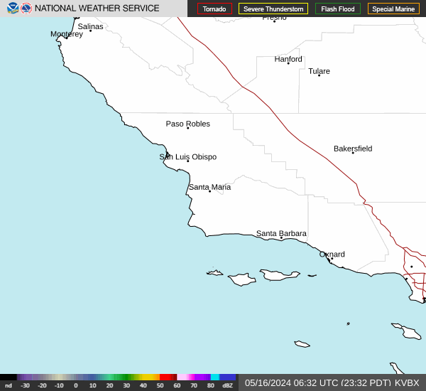
Link to Local Radar Data Link to Satellite Data

Hourly Weather Forecast

National Digital Forecast Database


