



Lowell to Impact Hawaii; Heat Persists in the South-Central U.S.
Hurricane Lowell is forecast to pass west of Kauai`s coastal waters tonight. Impacts such as high surf and heavy rain could impact all of the islands. Sweltering heat remains across the South-Central Plains and Lower/Middle Mississippi Valley into this week with limited nighttime relief. Periods of moderate to heavy rainfall will be possible through Tuesday morning in the northern Rockies. Read More >

RED ROCK (RRKN2)
Lat: 36.13472°NLon: 115.43°WElev: 3756.0ft.NA
82°F
28°C
| Humidity | 38% |
| Wind Speed | E 9 MPH |
| Barometer | NA |
| Dewpoint | 54°F (12°C) |
| Visibility | NA |
| Heat Index | 81°F (27°C) |
| Last update | 07 Sep 12:34 PM PDT |
13 Miles ESE Mt. Charleston NV
Labor Day

High: 87 °F
Sunny
Tonight

Low: 71 °F
Mostly Clear
Tuesday

High: 92 °F
Increasing
CloudsTuesday Night
Low: 77 °F
Mostly Clear
Wednesday
High: 98 °F
Sunny
Wednesday Night
Low: 81 °F
Mostly Clear
Thursday
High: 100 °F
Sunny
Thursday Night
Low: 81 °F
Mostly Clear
Friday
High: 97 °F
Sunny
Detailed Forecast
Additional Forecasts and Information
 Forecast Area
ABOUT THIS FORECAST
36.16°N 115.44°W (Elev. 4009 ft)


Additional Resources
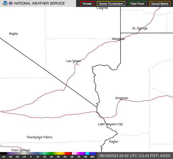
Radar & Satellite Image

Hourly Weather Forecast


