

Severe Thunderstorms in the Ohio Valley and Mid-Atlantic; Heat Continuing in the Central U.S.

Widespread strong to severe thunderstorms are expected from the Upper Ohio Valley into the Mid-Atlantic through Friday, with damaging winds as the primary threat. Dangerous heat will continue from the South-Central U.S. to the Midwest, Ohio/Tennessee valleys, and Mid-Atlantic. Widespread Major to Extreme Heat Risk is forecast into the weekend and will confine to the South-Central U.S. by Labor Day Read More >

Current conditions at

VISITORS CENTER AT FURNACE CREEK DEATH VALLEY (DEVC1)

Lat: 36.46222°NLon: 116.86361°WElev: -193.0ft.

NA

96°F

36°C

Humidity 12%
Wind Speed SSE 10 MPH
Barometer NA
Dewpoint 36°F (2°C)
Visibility NA
Heat Index91°F (33°C)
Last update 03 Sep 09:00 PM PDT
Extended Forecast for

15 Miles S Furnace Creek CA

  • Tonight

    Tonight: Patchy blowing dust. Mostly clear, with a low around 85. Windy, with a south southeast wind 25 to 32 mph, with gusts as high as 44 mph.

    Low: 85 °F

    Patchy
    Blowing Dust
    and Windy

  • Friday

    Friday: Patchy blowing dust after 4pm. Sunny and hot, with a high near 109. Windy, with a south southeast wind 13 to 23 mph increasing to 26 to 36 mph in the afternoon.

    High: 109 °F

    Sunny and
    Breezy then
    Patchy
    Blowing Dust
    and Windy

  • Friday Night

    Friday Night: Patchy blowing dust between 1am and 2am. Mostly clear, with a low around 85. Windy, with a south wind 32 to 37 mph decreasing to 20 to 25 mph after midnight. Winds could gust as high as 44 mph.

    Low: 85 °F

    Patchy
    Blowing Dust
    and Windy

  • Saturday

    Saturday: Sunny and hot, with a high near 109. Breezy, with a south wind 7 to 12 mph increasing to 21 to 26 mph in the afternoon. Winds could gust as high as 31 mph.

    High: 109 °F

    Sunny then
    Sunny and
    Breezy

  • Saturday Night

    Saturday Night: Mostly clear, with a low around 86. Breezy, with a south wind 15 to 24 mph, with gusts as high as 34 mph.

    Low: 86 °F

    Mostly Clear
    and Breezy

  • Sunday

    Sunday: A 30 percent chance of showers, mainly before 11am.  Mostly sunny and hot, with a high near 106. Windy.

    High: 106 °F

    Chance
    Showers and
    Windy

  • Sunday Night

    Sunday Night: Mostly clear, with a low around 83. Breezy.

    Low: 83 °F

    Mostly Clear
    and Breezy
    then Mostly
    Clear

  • Labor Day

    Labor Day: Sunny and hot, with a high near 105.

    High: 105 °F

    Hot

  • Monday Night

    Monday Night: Mostly clear, with a low around 85.

    Low: 85 °F

    Mostly Clear

Detailed Forecast

Tonight
Patchy blowing dust. Mostly clear, with a low around 85. Windy, with a south southeast wind 25 to 32 mph, with gusts as high as 44 mph.
Friday
Patchy blowing dust after 4pm. Sunny and hot, with a high near 109. Windy, with a south southeast wind 13 to 23 mph increasing to 26 to 36 mph in the afternoon.
Friday Night
Patchy blowing dust between 1am and 2am. Mostly clear, with a low around 85. Windy, with a south wind 32 to 37 mph decreasing to 20 to 25 mph after midnight. Winds could gust as high as 44 mph.
Saturday
Sunny and hot, with a high near 109. Breezy, with a south wind 7 to 12 mph increasing to 21 to 26 mph in the afternoon. Winds could gust as high as 31 mph.
Saturday Night
Mostly clear, with a low around 86. Breezy, with a south wind 15 to 24 mph, with gusts as high as 34 mph.
Sunday
A 30 percent chance of showers, mainly before 11am. Mostly sunny and hot, with a high near 106. Windy.
Sunday Night
Mostly clear, with a low around 83. Breezy.
Labor Day
Sunny and hot, with a high near 105.
Monday Night
Mostly clear, with a low around 85.
Tuesday
Mostly sunny and hot, with a high near 109.
Tuesday Night
Partly cloudy, with a low around 88.
Wednesday
Mostly sunny and hot, with a high near 112.
Wednesday Night
Mostly clear, with a low around 90.
Thursday
Sunny and hot, with a high near 112.
Basemap Options
Click map to change the forecast location
Loading map...

ABOUT THIS FORECAST

 
Point Forecast:
15 Miles S Furnace Creek CA
 36.25°N 116.83°W (Elev. -232 ft)
12:22 pm PDT Sep 3, 2026
9pm PDT Sep 3, 2026-6pm PDT Sep 10, 2026
 
Get as KML Get as XML

Additional Resources

Radar & Satellite Image
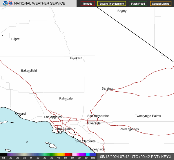
Link to Local Radar Data Link to Satellite Data

Hourly Weather Forecast

National Digital Forecast Database


