



Fire Weather Concerns West; Thunderstorms in the Upper Midwest
Dry and breezy conditions will enhance fire weather concerns across portions of the northern and central High Plains through Saturday, where fuels remain largely receptive. Severe thunderstorms are possible across portions of central Nebraska to the Upper Midwest this Friday afternoon into tonight. Read More >

Current conditions at
VISITORS CENTER AT FURNACE CREEK DEATH VALLEY (DEVC1)
Lat: 36.46222°NLon: 116.86361°WElev: -193.0ft.NA
107°F
42°C
| Humidity | 18% |
| Wind Speed | SSE 1 MPH |
| Barometer | NA |
| Dewpoint | 55°F (13°C) |
| Visibility | NA |
| Heat Index | 106°F (41°C) |
| Last update | 10 Sep 08:00 PM PDT |
Extended Forecast for
21 Miles W Furnace Creek CA
Tonight

Low: 80 °F
Mostly Clear
Friday

High: 101 °F
Sunny
Friday Night
Low: 76 °F
Mostly Clear
Saturday
High: 98 °F
Sunny then
Sunny and
BreezySaturday Night

Low: 73 °F
Clear and
BreezySunday
High: 92 °F
Sunny
Sunday Night
Low: 70 °F
Mostly Clear
Monday

High: 92 °F
Sunny
Monday Night
Low: 69 °F
Mostly Clear
Detailed Forecast
Tonight
Mostly clear, with a low around 80. South wind 5 to 7 mph becoming calm after midnight.
Friday
Sunny, with a high near 101. Light and variable wind becoming south 5 to 10 mph in the morning.
Friday Night
Mostly clear, with a low around 76. South southwest wind 7 to 17 mph.
Saturday
Sunny, with a high near 98. Breezy, with a southeast wind 6 to 11 mph increasing to 18 to 23 mph in the afternoon. Winds could gust as high as 28 mph.
Saturday Night
Clear, with a low around 73. Breezy, with a south southwest wind 24 to 29 mph decreasing to 16 to 21 mph after midnight. Winds could gust as high as 38 mph.
Sunday
Sunny, with a high near 92.
Sunday Night
Mostly clear, with a low around 70.
Monday
Sunny, with a high near 92.
Monday Night
Mostly clear, with a low around 69.
Tuesday
Sunny, with a high near 92.
Tuesday Night
Mostly clear, with a low around 70.
Wednesday
Sunny, with a high near 92.
Wednesday Night
Mostly clear, with a low around 71.
Thursday
Sunny, with a high near 92.
Additional Forecasts and Information
Basemap Options
Click map to change the forecast location
Loading map...
 Forecast Area
ABOUT THIS FORECAST
Point Forecast:
21 Miles W Furnace Creek CA
36.47°N 117.24°W (Elev. 2907 ft)
36.47°N 117.24°W (Elev. 2907 ft)
7:18 pm PDT Sep 10, 2026
9pm PDT Sep 10, 2026-6pm PDT Sep 17, 2026


Additional Resources
Radar & Satellite Image
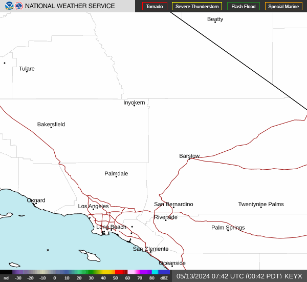

Hourly Weather Forecast


