

Isaias Continues Moving Inland

Hurricane Isaias has made landfall near Destin, Florida and will continue to move inland overnight. Hurricane conditions are expected through early Saturday within the Hurricane Warning area. A life-threatening storm surge is expected from Dauphin Island, Alabama to Suwannee, Florida where a Storm Surge Warning remains in effect. Heavy rainfall to spread inland into the Southeast on Saturday. Read More >

Current conditions at

Lone Pine/Death Valley Airport (KO26)

Lat: 36.58869°NLon: 118.04939°WElev: 3710.0ft.

Clear

66°F

19°C

Humidity 39%
Wind Speed S 8 MPH
Barometer 29.82 in (1009.82 mb)
Dewpoint 41°F (5°C)
Visibility 10.00 mi
Last update 09 Oct 10:55 PM PDT
Extended Forecast for

10 Miles SW Lone Pine CA

  • Tonight

    Tonight: Clear, with a low around 32. West southwest wind 11 to 17 mph, with gusts as high as 22 mph.

    Low: 32 °F

    Clear

  • Saturday

    Saturday: Mostly sunny, with a high near 47. Breezy, with a west southwest wind 21 to 25 mph, with gusts as high as 34 mph.

    High: 47 °F

    Mostly Sunny
    and Breezy

  • Saturday Night

    Saturday Night: Snow showers likely, mainly after 4am.  Mostly cloudy, with a low around 29. Southwest wind 13 to 20 mph, with gusts as high as 29 mph.  Chance of precipitation is 60%. New snow accumulation of less than one inch possible.

    Low: 29 °F

    Slight Chance
    Snow Showers
    then Snow
    Showers
    Likely

  • Sunday

    Sunday: Snow showers likely. Some thunder is also possible.  Mostly cloudy, with a high near 38. South southwest wind 10 to 20 mph, with gusts as high as 28 mph.  Chance of precipitation is 70%. New snow accumulation of around an inch possible.

    High: 38 °F

    Snow Showers
    Likely

  • Sunday Night

    Sunday Night: A 30 percent chance of snow showers before 11pm. Some thunder is also possible.  Partly cloudy, with a low around 17. Breezy, with a southwest wind 18 to 22 mph, with gusts as high as 33 mph.  New snow accumulation of less than a half inch possible.

    Low: 17 °F

    Breezy.
    Chance Snow
    Showers then
    Partly Cloudy

  • Columbus Day

    Columbus Day: A 50 percent chance of snow showers. Some thunder is also possible.  Partly sunny, with a high near 29. New snow accumulation of less than one inch possible.

    High: 29 °F

    Chance Snow
    Showers

  • Monday Night

    Monday Night: Snow showers likely, mainly before 11pm. Some thunder is also possible.  Mostly cloudy, with a low around 16. Chance of precipitation is 60%. New snow accumulation of less than one inch possible.

    Low: 16 °F

    Snow Showers
    Likely

  • Tuesday

    Tuesday: A slight chance of snow showers.  Mostly sunny, with a high near 33.

    High: 33 °F

    Slight Chance
    Snow Showers

  • Tuesday Night

    Tuesday Night: Mostly clear, with a low around 20.

    Low: 20 °F

    Mostly Clear

Detailed Forecast

Tonight
Clear, with a low around 32. West southwest wind 11 to 17 mph, with gusts as high as 22 mph.
Saturday
Mostly sunny, with a high near 47. Breezy, with a west southwest wind 21 to 25 mph, with gusts as high as 34 mph.
Saturday Night
Snow showers likely, mainly after 4am. Mostly cloudy, with a low around 29. Southwest wind 13 to 20 mph, with gusts as high as 29 mph. Chance of precipitation is 60%. New snow accumulation of less than one inch possible.
Sunday
Snow showers likely. Some thunder is also possible. Mostly cloudy, with a high near 38. South southwest wind 10 to 20 mph, with gusts as high as 28 mph. Chance of precipitation is 70%. New snow accumulation of around an inch possible.
Sunday Night
A 30 percent chance of snow showers before 11pm. Some thunder is also possible. Partly cloudy, with a low around 17. Breezy, with a southwest wind 18 to 22 mph, with gusts as high as 33 mph. New snow accumulation of less than a half inch possible.
Columbus Day
A 50 percent chance of snow showers. Some thunder is also possible. Partly sunny, with a high near 29. New snow accumulation of less than one inch possible.
Monday Night
Snow showers likely, mainly before 11pm. Some thunder is also possible. Mostly cloudy, with a low around 16. Chance of precipitation is 60%. New snow accumulation of less than one inch possible.
Tuesday
A slight chance of snow showers. Mostly sunny, with a high near 33.
Tuesday Night
Mostly clear, with a low around 20.
Wednesday
Sunny, with a high near 41.
Wednesday Night
Clear, with a low around 24.
Thursday
Sunny, with a high near 44.
Thursday Night
Clear, with a low around 26.
Friday
Sunny, with a high near 46.
Basemap Options
Click map to change the forecast location
Loading map...

ABOUT THIS FORECAST

 
Point Forecast:
10 Miles SW Lone Pine CA
 36.5°N 118.21°W (Elev. 11129 ft)
8:18 pm PDT Oct 9, 2026
11pm PDT Oct 9, 2026-6pm PDT Oct 16, 2026
 
Get as KML Get as XML

Additional Resources

Radar & Satellite Image
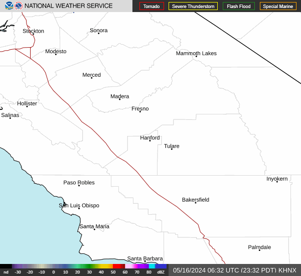
Link to Local Radar Data Link to Satellite Data

Hourly Weather Forecast

National Digital Forecast Database


