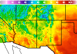
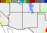
Heat Expands for Center of the Nation; Severe Thunderstorms for Plains and Upper Midwest
Dangerous heat expands across the Desert Southwest, Plains, Mississippi Valley and Midwest. Critical fire weather for portions of the Intermountain West. Risk for severe thunderstorms and flash flooding across the Upper Midwest/Great Lakes, Ohio Valley, and portions of the mid-Atlantic. Active monsoonal moisture fuels thunderstorms over the Southwest. Hurricane Fausto in the Pacific, should weaken Read More >

Clayton Municipal Airpark (KCAO)
Lat: 36.45°NLon: 103.15°WElev: 4971ft.
Fair
75°F
24°C
| Humidity | 52% |
| Wind Speed | SW 10 mph |
| Barometer | 30.15 in (1012.1 mb) |
| Dewpoint | 56°F (13°C) |
| Visibility | 10.00 mi |
| Last update | 26 Jul 6:55 am MDT |
5 Miles WNW Seneca NM
Today

High: 101 °F
Hot
Tonight

Low: 71 °F
Mostly Clear
Monday
High: 103 °F
Sunny then
Isolated
T-stormsMonday Night
Low: 68 °F
Scattered
T-storms then
Mostly CloudyTuesday
High: 97 °F
Mostly Sunny
then
Scattered
T-stormsTuesday Night
Low: 66 °F
Scattered
T-storms then
Mostly CloudyWednesday
High: 96 °F
Mostly Sunny
then
Scattered
T-stormsWednesday Night
Low: 66 °F
Slight Chance
T-storms then
Mostly CloudyThursday
High: 97 °F
Sunny then
Chance
T-storms
Detailed Forecast
 Forecast Area
ABOUT THIS FORECAST
36.64°N 103.22°W (Elev. 5098 ft)


Additional Resources
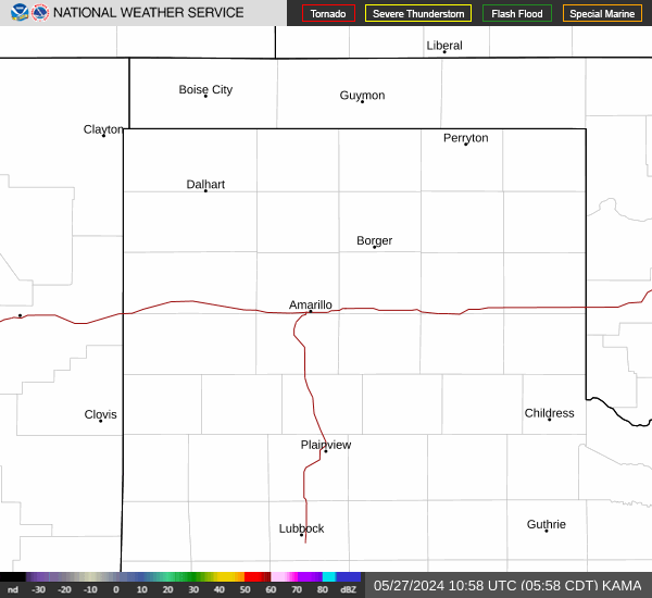
Radar & Satellite Image

Hourly Weather Forecast