



Severe Weather and Heavy Rainfall from the Midwest to the Ohio Valley; Mid-Summer Heat Continues
Severe thunderstorm and heavy rainfall threats will persist from the Midwest to Lower Great Lakes through Monday, shifting into the Ohio Valley and Central Appalachians Monday evening into Tuesday. Mid-summer heat will continue across much of the CONUS this week, with record highs possible well into the 100s across the south-central High Plains. Read More >

Williamsburg-Whitley County Airport (KBYL)
Lat: 36.8°NLon: 84.2°WElev: 1165ft.
Fair
73°F
23°C
| Humidity | 90% |
| Wind Speed | SE 7 mph |
| Barometer | 30.15 in |
| Dewpoint | 70°F (21°C) |
| Visibility | 10.00 mi |
| Last update | 9 Aug 11:35 pm EDT |
4 Miles ENE Strunk KY
Tonight

Low: 69 °F
Partly Cloudy
Monday

High: 88 °F
Slight Chance
T-stormsMonday Night

Low: 71 °F
Slight Chance
ShowersTuesday

High: 88 °F
Chance
T-stormsTuesday Night
Low: 70 °F
Slight Chance
T-storms then
Slight Chance
ShowersWednesday

High: 87 °F
Showers
LikelyWednesday Night

Low: 71 °F
Chance
T-stormsThursday
High: 87 °F
Slight Chance
T-storms then
Chance
T-stormsThursday Night

Low: 70 °F
Chance
T-storms
Detailed Forecast
Additional Forecasts and Information
 Forecast Area
ABOUT THIS FORECAST
36.66°N 84.37°W (Elev. 1257 ft)


Additional Resources
Radar & Satellite Image
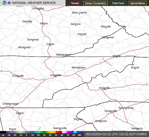

Hourly Weather Forecast


