

Lala Approaching Hawaii; Flash Flooding Risks; Excessive Heat

Lala, may become a hurricane, is expected to impact Hawaii this weekend. Heavy rainfall, strong winds, dangerous surf and localized flooding are expected. Heavy rainfall and flash flooding concerns from the mid-Mississippi Valley, Ohio Valley into the central Appalachians continues, with the threat shifting toward the mid-Atlantic later this weekend. Record heat continues for areas of the South. Read More >

Current conditions at

NAVAJO MONUMENT (QNMA3)

Lat: 36.67667°NLon: 110.54389°WElev: 7204.0ft.

NA

55°F

13°C

Humidity 76%
Wind Speed WNW 2 MPH
Barometer NA
Dewpoint 48°F (9°C)
Visibility NA
Last update 14 Aug 11:36 PM MDT
Extended Forecast for

9 Miles SE Goulding UT

  • Overnight

    Overnight: Partly cloudy, with a low around 61. Northwest wind around 6 mph becoming southwest.

    Low: 61 °F

    Partly Cloudy

  • Saturday

    Saturday: Sunny, with a high near 87. Calm wind becoming north 5 to 7 mph in the afternoon.

    High: 87 °F

    Sunny

  • Saturday Night

    Saturday Night: Partly cloudy, with a low around 65. Northwest wind 5 to 7 mph becoming light and variable  after midnight.

    Low: 65 °F

    Partly Cloudy

  • Sunday

    Sunday: Mostly sunny, with a high near 90. Calm wind becoming north 5 to 9 mph in the afternoon.

    High: 90 °F

    Mostly Sunny

  • Sunday Night

    Sunday Night: Partly cloudy, with a low around 66. Northwest wind 5 to 7 mph becoming calm  after midnight.

    Low: 66 °F

    Partly Cloudy

  • Monday

    Monday: Sunny, with a high near 93. Calm wind becoming east around 6 mph in the morning.

    High: 93 °F

    Sunny

  • Monday Night

    Monday Night: Mostly clear, with a low around 69. West wind around 6 mph becoming light and variable  after midnight.

    Low: 69 °F

    Mostly Clear

  • Tuesday

    Tuesday: Sunny, with a high near 95. Light and variable wind becoming west 5 to 8 mph in the morning. Winds could gust as high as 15 mph.

    High: 95 °F

    Sunny

  • Tuesday Night

    Tuesday Night: Partly cloudy, with a low around 70. West wind 7 to 9 mph, with gusts as high as 16 mph.

    Low: 70 °F

    Partly Cloudy

Detailed Forecast

Overnight
Partly cloudy, with a low around 61. Northwest wind around 6 mph becoming southwest.
Saturday
Sunny, with a high near 87. Calm wind becoming north 5 to 7 mph in the afternoon.
Saturday Night
Partly cloudy, with a low around 65. Northwest wind 5 to 7 mph becoming light and variable after midnight.
Sunday
Mostly sunny, with a high near 90. Calm wind becoming north 5 to 9 mph in the afternoon.
Sunday Night
Partly cloudy, with a low around 66. Northwest wind 5 to 7 mph becoming calm after midnight.
Monday
Sunny, with a high near 93. Calm wind becoming east around 6 mph in the morning.
Monday Night
Mostly clear, with a low around 69. West wind around 6 mph becoming light and variable after midnight.
Tuesday
Sunny, with a high near 95. Light and variable wind becoming west 5 to 8 mph in the morning. Winds could gust as high as 15 mph.
Tuesday Night
Partly cloudy, with a low around 70. West wind 7 to 9 mph, with gusts as high as 16 mph.
Wednesday
Sunny and hot, with a high near 96. Northwest wind 5 to 10 mph, with gusts as high as 18 mph.
Wednesday Night
Partly cloudy, with a low around 70. Northwest wind 5 to 10 mph becoming southwest after midnight. Winds could gust as high as 17 mph.
Thursday
Sunny and hot, with a high near 96. West wind 5 to 9 mph becoming northeast in the morning. Winds could gust as high as 17 mph.
Thursday Night
Mostly clear, with a low around 70. Northwest wind 5 to 9 mph becoming light and variable after midnight. Winds could gust as high as 16 mph.
Friday
A 10 percent chance of showers and thunderstorms. Sunny and hot, with a high near 96. Light and variable wind becoming northeast 5 to 7 mph in the morning.
Basemap Options
Click map to change the forecast location
Loading map...

ABOUT THIS FORECAST

 
Point Forecast:
9 Miles SE Goulding UT
 36.93°N 110.09°W (Elev. 5249 ft)
11:02 pm MDT Aug 14, 2026
12am MDT Aug 15, 2026-6pm MDT Aug 21, 2026
 
Get as KML Get as XML

Additional Resources

Radar & Satellite Image
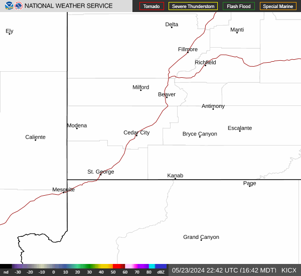
Link to Local Radar Data Link to Satellite Data

Hourly Weather Forecast

National Digital Forecast Database


