

Extreme Heat Continues; Severe Thunderstorms into Upper Midwest; Strong Bering Sea Storm

Wildfires and poor air quality continue for the Pacific Northwest, Rockies and extended into the Plains. Severe thunderstorms possible for the northern Plains and upper Midwest on Monday along a frontal boundary. Another boundary will focus showers and thunderstorms for the eastern seaboard with localized heavy rainfall possible. For Alaska, a strong Bering Sea storm will bring winds and rainfall. Read More >

Current conditions at

Corrine Lake (PG467)

Lat: 37.15893°NLon: 119.49437°WElev: 2406.0ft.

NA

95°F

35°C

Humidity 22%
Wind Speed SSW 6 MPH
Barometer NA
Dewpoint 50°F (10°C)
Visibility NA
Heat Index92°F (33°C)
Last update 02 Aug 12:50 PM PDT
Extended Forecast for

4 Miles NNW Auberry CA

  • This Afternoon

    This Afternoon: Sunny and hot, with a high near 103. West southwest wind around 5 mph.

    High: 103 °F

    Hot

  • Tonight

    Tonight: Clear, with a low around 74. Calm wind becoming northeast around 5 mph.

    Low: 74 °F

    Clear

  • Monday

    Monday: Sunny and hot, with a high near 103. Calm wind becoming southwest around 5 mph in the morning.

    High: 103 °F

    Hot

  • Monday Night

    Monday Night: Mostly clear, with a low around 74. Calm wind becoming northeast around 5 mph.

    Low: 74 °F

    Mostly Clear

  • Tuesday

    Tuesday: Sunny and hot, with a high near 102. Calm wind becoming southwest around 5 mph in the afternoon.

    High: 102 °F

    Hot

  • Tuesday Night

    Tuesday Night: Clear, with a low around 74. West southwest wind around 5 mph becoming calm  after midnight.

    Low: 74 °F

    Clear

  • Wednesday

    Wednesday: Sunny and hot, with a high near 102. Calm wind becoming southwest around 5 mph in the afternoon.

    High: 102 °F

    Hot

  • Wednesday Night

    Wednesday Night: Clear, with a low around 74. West southwest wind around 5 mph becoming calm  after midnight.

    Low: 74 °F

    Clear

  • Thursday

    Thursday: Sunny and hot, with a high near 103. Calm wind becoming southwest around 5 mph in the afternoon.

    High: 103 °F

    Hot

Detailed Forecast

This Afternoon
Sunny and hot, with a high near 103. West southwest wind around 5 mph.
Tonight
Clear, with a low around 74. Calm wind becoming northeast around 5 mph.
Monday
Sunny and hot, with a high near 103. Calm wind becoming southwest around 5 mph in the morning.
Monday Night
Mostly clear, with a low around 74. Calm wind becoming northeast around 5 mph.
Tuesday
Sunny and hot, with a high near 102. Calm wind becoming southwest around 5 mph in the afternoon.
Tuesday Night
Clear, with a low around 74. West southwest wind around 5 mph becoming calm after midnight.
Wednesday
Sunny and hot, with a high near 102. Calm wind becoming southwest around 5 mph in the afternoon.
Wednesday Night
Clear, with a low around 74. West southwest wind around 5 mph becoming calm after midnight.
Thursday
Sunny and hot, with a high near 103. Calm wind becoming southwest around 5 mph in the afternoon.
Thursday Night
Clear, with a low around 76. West wind around 5 mph becoming calm after midnight.
Friday
Sunny and hot, with a high near 103. Calm wind becoming southwest around 5 mph in the afternoon. Winds could gust as high as 15 mph.
Friday Night
Mostly clear, with a low around 77. West wind around 5 mph becoming calm after midnight. Winds could gust as high as 15 mph.
Saturday
Sunny and hot, with a high near 102. Calm wind becoming west southwest around 5 mph in the afternoon. Winds could gust as high as 15 mph.
Basemap Options
Click map to change the forecast location
Loading map...

ABOUT THIS FORECAST

 
Point Forecast:
4 Miles NNW Auberry CA
 37.13°N 119.54°W (Elev. 1801 ft)
12:57 pm PDT Aug 2, 2026
1pm PDT Aug 2, 2026-6pm PDT Aug 8, 2026
 
Get as KML Get as XML

Additional Resources

Radar & Satellite Image
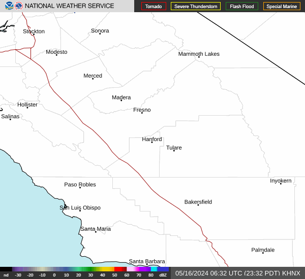
Link to Local Radar Data Link to Satellite Data

Hourly Weather Forecast

National Digital Forecast Database


