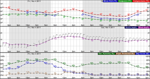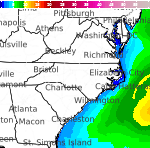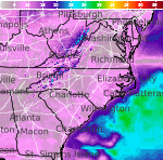


Hazardous Weather Conditions
For More Weather Information:
Today

SSW 18kt
2ft
Small Craft AdvisoryTonight
SW 18kt
2ft
Small Craft AdvisoryThursday

WNW 15kt
2ft
Small Craft AdvisoryThursday Night

W 13kt
1-2ftFriday

SW 7kt
1ftFriday Night

⇑WSW 14kt
1-2ftSaturday

W 15kt
1-2ftSaturday Night

SW 12kt
1-2ftSunday

WNW 19kt
2-3ft
Associated Zone Forecast which includes this point
Last Update: 11:55 pm EST Dec 9, 2025
Forecast Valid: 6am EST Dec 10, 2025-6pm EST Dec 16, 2025
View Nearby Observations
Detailed Forecast
...SMALL CRAFT ADVISORY IN EFFECT THROUGH THURSDAY MORNING...
Today
SSW wind 15 to 18 kt, with gusts as high as 26 kt. Mostly cloudy. Waves around 2 ft.
Tonight
SW wind around 18 kt becoming W after midnight. Winds could gust as high as 25 kt. Mostly cloudy during the early evening, then gradual clearing. Waves around 2 ft.
Thursday
WNW wind 13 to 15 kt. Sunny. Waves around 2 ft.
Thursday Night
W wind 9 to 13 kt. Mostly clear. Waves 1 to 2 ft.
Friday
SW wind around 7 kt. Partly sunny. Waves around 1 ft.
Friday Night
WSW wind 7 to 10 kt increasing to 11 to 14 kt after midnight. Partly cloudy. Waves 1 to 2 ft.
Saturday
W wind 10 to 15 kt. Mostly sunny. Waves 1 to 2 ft.
Saturday Night
WSW wind 9 to 12 kt becoming SSW after midnight. Partly cloudy. Waves 1 to 2 ft.
Sunday
WNW wind 14 to 19 kt, with gusts as high as 25 kt. Mostly sunny. Waves 2 to 3 ft.
*Notices:
- This forecast is for a single location. For safety concerns, mariners should be aware of the weather over a larger area. Forecast information for a larger area can be found within the zone forecast and the NDFD graphics.
- The forecast conditions at a particular point may not exceed the criteria of a Small Craft Advisory, Gale, Storm etc. These watches/warnings/advisories are issued for the entire zone in which the point resides and mariners should act accordingly.
Additional Forecasts and Information
Basemap Options
Click map to change the forecast location
Loading map...
ABOUT THIS FORECAST
| Point Forecast: | 37.2°N 76.38°W |
| Last Update: | 11:55 pm EST Dec 9, 2025 |
| Forecast Valid: | 6am EST Dec 10, 2025-6pm EST Dec 16, 2025 |
| Forecast Discussion | |
|
|

