Hurricane Lowell to Impact Kauai; Heat Continues in the South-Central U.S.

Hurricane Lowell is forecast to pass west of Kauai today. Impacts such as high surf and heavy rain could impact all of the islands. A Hurricane Warning is in effect for Kauai, Niihau and the surrounding coastal waters. Sweltering heat remains across the South-Central Plains and Lower/Middle Mississippi Valley, as well as in the Southwest this week with limited nighttime relief. Read More >

Current conditions at

KANAB MUNICIPAL AIRPORT (KKNB)

Lat: 37.01°NLon: 112.53°WElev: 4865.0ft.

NA

88°F

31°C

Humidity 18%
Wind Speed W 12 MPH
Barometer 30.22 in (1023.37 mb)
Dewpoint 39°F (4°C)
Visibility 9.00 mi
Heat Index84°F (29°C)
Last update 08 Sep 05:35 PM MDT
Extended Forecast for

Zion NP and Zion Canyon UT

  • Tonight

    Tonight: Mostly clear, with a low around 65. West wind 5 to 13 mph becoming northeast after midnight.

    Low: 65 °F

    Mostly Clear

  • Wednesday

    Wednesday: Sunny and hot, with a high near 102. Northeast wind 8 to 13 mph becoming light and variable.

    High: 102 °F

    Hot

  • Wednesday Night

    Wednesday Night: Mostly clear, with a low around 68. West wind 6 to 13 mph becoming northeast after midnight.

    Low: 68 °F

    Mostly Clear

  • Thursday

    Thursday: Sunny and hot, with a high near 103. Northeast wind 6 to 11 mph becoming light and variable.

    High: 103 °F

    Hot

  • Thursday Night

    Thursday Night: Mostly clear, with a low around 71. West southwest wind 5 to 7 mph becoming light and variable.

    Low: 71 °F

    Mostly Clear

  • Friday

    Friday: A slight chance of showers and thunderstorms between 9am and noon.  Sunny and hot, with a high near 101. Chance of precipitation is 10%.

    High: 101 °F

    Slight Chance
    T-storms then
    Sunny

  • Friday Night

    Friday Night: A 20 percent chance of showers after midnight.  Mostly clear, with a low around 69.

    Low: 69 °F

    Mostly Clear
    then Slight
    Chance
    Showers

  • Saturday

    Saturday: A slight chance of showers before noon.  Sunny, with a high near 98.

    High: 98 °F

    Slight Chance
    Showers then
    Sunny

  • Saturday Night

    Saturday Night: Clear, with a low around 66.

    Low: 66 °F

    Clear

Detailed Forecast

Tonight
Mostly clear, with a low around 65. West wind 5 to 13 mph becoming northeast after midnight.
Wednesday
Sunny and hot, with a high near 102. Northeast wind 8 to 13 mph becoming light and variable.
Wednesday Night
Mostly clear, with a low around 68. West wind 6 to 13 mph becoming northeast after midnight.
Thursday
Sunny and hot, with a high near 103. Northeast wind 6 to 11 mph becoming light and variable.
Thursday Night
Mostly clear, with a low around 71. West southwest wind 5 to 7 mph becoming light and variable.
Friday
A slight chance of showers and thunderstorms between 9am and noon. Sunny and hot, with a high near 101. Chance of precipitation is 10%.
Friday Night
A 20 percent chance of showers after midnight. Mostly clear, with a low around 69.
Saturday
A slight chance of showers before noon. Sunny, with a high near 98.
Saturday Night
Clear, with a low around 66.
Sunday
Sunny, with a high near 94.
Sunday Night
Mostly clear, with a low around 63.
Monday
Sunny, with a high near 94.
Monday Night
A slight chance of showers. Mostly clear, with a low around 63.
Tuesday
A chance of showers and thunderstorms. Partly sunny, with a high near 92.
Basemap Options
Click map to change the forecast location
Loading map...

ABOUT THIS FORECAST

 
Point Forecast:
Zion NP and Zion Canyon UT
 37.21°N 112.98°W (Elev. 4003 ft)
2:21 pm MDT Sep 8, 2026
5pm MDT Sep 8, 2026-6pm MDT Sep 15, 2026
 
Get as KML Get as XML

Additional Resources

Radar & Satellite Image
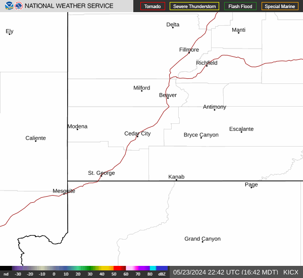
Link to Local Radar Data Link to Satellite Data

Hourly Weather Forecast

National Digital Forecast Database