News Headlines

Hazardous Weather Conditions
Current conditions at
Astronaut Kent Rominger - Del Norte (KRCV)
Lat: 37.71°NLon: 106.35°WElev: 7956ft.
Fair
33°F
1°C
| Humidity | 72% |
| Wind Speed | Calm |
| Barometer | 29.92 in |
| Dewpoint | 24°F (-4°C) |
| Visibility | 10.00 mi |
| Last update | 14 Nov 1:55 am MST |
Extended Forecast for
10 Miles S Del Norte CO
Winter Weather Advisory until November 14, 09:00pm
NOW until 9:00pm Sat

Winter Weather Advisory
Overnight

Low: 27 °F
Slight Chance
Snow ShowersSaturday

High: 34 °F
Snow Showers
LikelySaturday Night
Low: 26 °F
Slight Chance
Snow Showers
then ClearSunday

High: 38 °F
Sunny
Sunday Night

Low: 25 °F
Mostly Clear
Monday
High: 40 °F
Sunny
Monday Night

Low: 26 °F
Partly Cloudy
Tuesday

High: 39 °F
Mostly Sunny
Detailed Forecast
Overnight
A 20 percent chance of snow showers after 4am. Cloudy, with a low around 27. Calm wind.
Saturday
Snow showers likely, mainly before 11am. Mostly cloudy, with a high near 34. Calm wind becoming west southwest around 5 mph in the afternoon. Chance of precipitation is 60%. New snow accumulation of less than a half inch possible.
Saturday Night
A 20 percent chance of snow showers before 8pm. Mostly cloudy, then gradually becoming clear, with a low around 26. West wind 5 to 10 mph.
Sunday
Sunny, with a high near 38. West wind around 5 mph becoming calm in the afternoon.
Sunday Night
Mostly clear, with a low around 25. West southwest wind around 5 mph.
Monday
Sunny, with a high near 40. West southwest wind around 5 mph becoming calm in the morning.
Monday Night
Partly cloudy, with a low around 26. West southwest wind 5 to 10 mph.
Tuesday
Mostly sunny, with a high near 39. South southwest wind around 5 mph.
Tuesday Night
Snow showers. Some thunder is also possible. Low around 27. Southwest wind 10 to 15 mph, with gusts as high as 30 mph. Chance of precipitation is 90%.
Wednesday
A 40 percent chance of snow showers before 11am. Mostly sunny, with a high near 32. Breezy, with a west southwest wind 15 to 20 mph, with gusts as high as 40 mph.
Wednesday Night
Partly cloudy, with a low around 21. West southwest wind 10 to 15 mph.
Thursday
Mostly sunny, with a high near 34. South wind around 5 mph.
Thursday Night
Snow showers likely. Partly cloudy, with a low around 26. Southwest wind around 10 mph.
Friday
Snow showers. Mostly sunny, with a high near 31. Southwest wind around 15 mph, with gusts as high as 30 mph.
Additional Forecasts and Information
Basemap Options
Click map to change the forecast location
Loading map...
 Forecast Area
ABOUT THIS FORECAST
Point Forecast:
10 Miles S Del Norte CO
37.53°N 106.39°W (Elev. 10322 ft)
37.53°N 106.39°W (Elev. 10322 ft)
11:31 pm MST Nov 13, 2026
2am MST Nov 14, 2026-6pm MST Nov 20, 2026


Additional Resources
Radar & Satellite Image
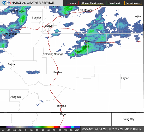

Hourly Weather Forecast