

Lala Impacting Hawaii; Flash Flooding Risks; Excessive Heat

Lala will continue to impact Hawaii through the weekend. Heavy rainfall, strong winds, dangerous surf and localized flooding are expected. Thunderstorms, heavy rainfall and flash flooding concerns from the mid-Mississippi Valley, Ohio Valley into the central Appalachians and the mid-Atlantic through today. Record heat continues for areas of the Mississippi Valley into the Southeast. Read More >

Current conditions at

Goldfield (CMP09)

Lat: 37.71333°NLon: 117.24028°WElev: 5625.0ft.

NA

71°F

22°C

Humidity 37%
Wind Speed SW 3 MPH
Barometer NA
Dewpoint 44°F (7°C)
Visibility NA
Last update 16 Aug 07:20 AM PDT
Extended Forecast for

22 Miles ESE Silver Peak NV

  • Today

    Today: Sunny, with a high near 75. South southeast wind 6 to 15 mph, with gusts as high as 21 mph.

    High: 75 °F

    Sunny

  • Tonight

    Tonight: Mostly clear, with a low around 59. South wind 8 to 13 mph.

    Low: 59 °F

    Mostly Clear

  • Monday

    Monday: Increasing clouds, with a high near 77. South wind 6 to 11 mph increasing to 12 to 17 mph in the afternoon. Winds could gust as high as 23 mph.

    High: 77 °F

    Increasing
    Clouds

  • Monday Night

    Monday Night: Cloudy during the early evening, then gradual clearing, with a low around 61. South wind 6 to 13 mph becoming west after midnight. Winds could gust as high as 18 mph.

    Low: 61 °F

    Gradual
    Clearing

  • Tuesday

    Tuesday: Mostly sunny, with a high near 79. Northwest wind 5 to 10 mph becoming south in the afternoon.

    High: 79 °F

    Mostly Sunny

  • Tuesday Night

    Tuesday Night: Partly cloudy, with a low around 62.

    Low: 62 °F

    Partly Cloudy

  • Wednesday

    Wednesday: Sunny, with a high near 80.

    High: 80 °F

    Sunny

  • Wednesday Night

    Wednesday Night: Partly cloudy, with a low around 61.

    Low: 61 °F

    Partly Cloudy

  • Thursday

    Thursday: Sunny, with a high near 80.

    High: 80 °F

    Sunny

Detailed Forecast

Today
Sunny, with a high near 75. South southeast wind 6 to 15 mph, with gusts as high as 21 mph.
Tonight
Mostly clear, with a low around 59. South wind 8 to 13 mph.
Monday
Increasing clouds, with a high near 77. South wind 6 to 11 mph increasing to 12 to 17 mph in the afternoon. Winds could gust as high as 23 mph.
Monday Night
Cloudy during the early evening, then gradual clearing, with a low around 61. South wind 6 to 13 mph becoming west after midnight. Winds could gust as high as 18 mph.
Tuesday
Mostly sunny, with a high near 79. Northwest wind 5 to 10 mph becoming south in the afternoon.
Tuesday Night
Partly cloudy, with a low around 62.
Wednesday
Sunny, with a high near 80.
Wednesday Night
Partly cloudy, with a low around 61.
Thursday
Sunny, with a high near 80.
Thursday Night
Mostly clear, with a low around 62.
Friday
Sunny, with a high near 79.
Friday Night
Mostly clear, with a low around 59.
Saturday
Sunny, with a high near 78.
Basemap Options
Click map to change the forecast location
Loading map...

ABOUT THIS FORECAST

 
Point Forecast:
22 Miles ESE Silver Peak NV
 37.7°N 117.35°W (Elev. 7818 ft)
11:33 pm PDT Aug 15, 2026
7am PDT Aug 16, 2026-6pm PDT Aug 22, 2026
 
Get as KML Get as XML

Additional Resources

Radar & Satellite Image
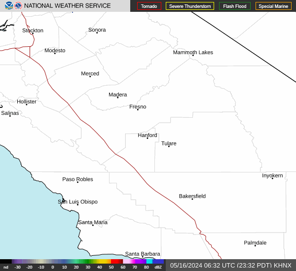
Link to Local Radar Data Link to Satellite Data

Hourly Weather Forecast

National Digital Forecast Database


