Heat Wave Persists Over the Central U.S.; Significant Flooding Expected in the Northern Mid-Atlantic Tuesday
Dangerous and extreme heat will remain across portions of the Central U.S. this week, persisting across the Mid to Lower Mississippi Valleys, Gulf Coast, Southern Plains and portions of Texas. A heat wave over the Southwest will intensify late this week. Severe thunderstorms and flash flooding will spread from the Great Lakes/Ohio Valley to the Mid-Atlantic and Northeast the next few days. Read More >

Cedar City Municipal Airport (KCDC)
Lat: 37.70675°NLon: 113.09695°WElev: 5581.0ft.
Clear
73°F
23°C
| Humidity | 38% |
| Wind Speed | ENE 4 MPH |
| Barometer | 30.13 in (1020.32 mb) |
| Dewpoint | 46°F (8°C) |
| Visibility | 10.00 mi |
| Last update | 28 Jul 02:00 AM MDT |
13 Miles SW Panguitch UT
Overnight

Low: 57 °F
Mostly Clear
Tuesday
High: 80 °F
Sunny then
Slight Chance
T-stormsTuesday Night

Low: 58 °F
Partly Cloudy
Wednesday
High: 80 °F
Slight Chance
T-storms then
Chance
T-stormsWednesday Night
Low: 56 °F
Mostly Clear
Thursday

High: 82 °F
Sunny
Thursday Night
Low: 57 °F
Mostly Clear
Friday
High: 85 °F
Sunny
Friday Night
Low: 59 °F
Mostly Clear
Detailed Forecast
 Forecast Area
ABOUT THIS FORECAST
37.71°N 112.64°W (Elev. 8350 ft)


Additional Resources
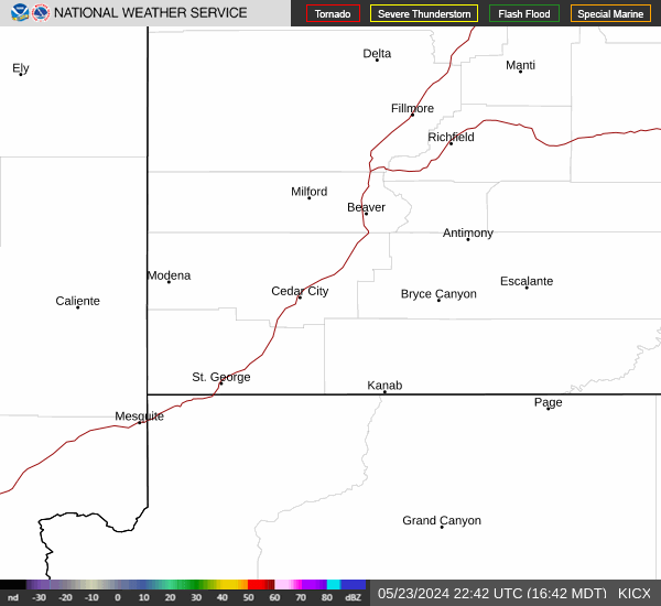
Radar & Satellite Image

Hourly Weather Forecast