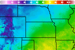
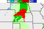
Severe Weather and Heavy Rainfall from the High Plains to the Ohio Valley; Heat Continuing in the Central Plains and Southeast

A stationary front will be the focus for daily showers and thunderstorms capable of widely scattered flash flooding and severe weather from the High Plains to the Ohio Valley. Monsoonal thunderstorms could cause local flash flooding across the Southwest and the Great Basin. Dangerous heat continues across the Central Plains and Southeast. Many areas will see their hottest temperatures of the year. Read More >

Current conditions at

Dodge City, Dodge City Regional Airport (KDDC)

Lat: 37.77°NLon: 99.97°WElev: 2592ft.

Fair and Breezy

106°F

41°C

Humidity 19%
Wind Speed S 24 G 32 mph
Barometer 29.79 in (1004.4 mb)
Dewpoint 56°F (13°C)
Visibility 7.00 mi
Heat Index105°F (41°C)
Last update 12 Aug 3:52 pm CDT
Extended Forecast for

2 Miles SE Fort Dodge KS

Heat Advisory August 12, 04:08pm until August 12, 09:00pm
Click here for hazard details and duration
...
  •  
    Heat Advisory August 12, 04:08pm until August 12, 09:00pm

    NOW until 9:00pm Wed

    Heat Advisory

  • Tonight

    Low: 74 °F

    Mostly Clear

  • Thursday

    Thursday: Sunny and hot, with a high near 103. Southwest wind 14 to 16 mph.

    High: 103 °F

    Hot

  • Thursday Night

    Thursday Night: A 40 percent chance of showers and thunderstorms, mainly before 1am.  Increasing clouds, with a low around 70. Southeast wind 7 to 13 mph.

    Low: 70 °F

    Chance
    T-storms

  • Friday

    Friday: Mostly sunny, with a high near 99. South wind 7 to 11 mph.

    High: 99 °F

    Mostly Sunny

  • Friday Night

    Friday Night: A 30 percent chance of showers and thunderstorms before 1am.  Mostly cloudy, with a low around 70. South southeast wind around 9 mph.

    Low: 70 °F

    Chance
    T-storms

  • Saturday

    Saturday: Sunny, with a high near 99.

    High: 99 °F

    Sunny

  • Saturday Night

    Saturday Night: A 20 percent chance of showers and thunderstorms before 1am.  Partly cloudy, with a low around 69.

    Low: 69 °F

    Slight Chance
    T-storms

  • Sunday

    Sunday: A 20 percent chance of showers and thunderstorms after 1pm.  Partly sunny, with a high near 93.

    High: 93 °F

    Partly Sunny
    then Slight
    Chance
    T-storms

Detailed Forecast

Tonight
Mostly clear, with a low around 74. South wind 15 to 18 mph.
Thursday
Sunny and hot, with a high near 103. Southwest wind 14 to 16 mph.
Thursday Night
A 40 percent chance of showers and thunderstorms, mainly before 1am. Increasing clouds, with a low around 70. Southeast wind 7 to 13 mph.
Friday
Mostly sunny, with a high near 99. South wind 7 to 11 mph.
Friday Night
A 30 percent chance of showers and thunderstorms before 1am. Mostly cloudy, with a low around 70. South southeast wind around 9 mph.
Saturday
Sunny, with a high near 99.
Saturday Night
A 20 percent chance of showers and thunderstorms before 1am. Partly cloudy, with a low around 69.
Sunday
A 20 percent chance of showers and thunderstorms after 1pm. Partly sunny, with a high near 93.
Sunday Night
A 40 percent chance of showers and thunderstorms. Mostly cloudy, with a low around 66.
Monday
A 20 percent chance of showers before 1pm. Partly sunny, with a high near 90.
Monday Night
A 20 percent chance of showers and thunderstorms. Partly cloudy, with a low around 66.
Tuesday
Mostly sunny, with a high near 95.
Tuesday Night
Mostly clear, with a low around 67.
Wednesday
Sunny, with a high near 97.
Basemap Options
Click map to change the forecast location
Loading map...

ABOUT THIS FORECAST

 
Point Forecast:
2 Miles SE Fort Dodge KS
 37.73°N 99.93°W (Elev. 2461 ft)
2:01 pm CDT Aug 12, 2026
4pm CDT Aug 12, 2026-6pm CDT Aug 19, 2026
 
Get as KML Get as XML

Additional Resources

Radar & Satellite Image
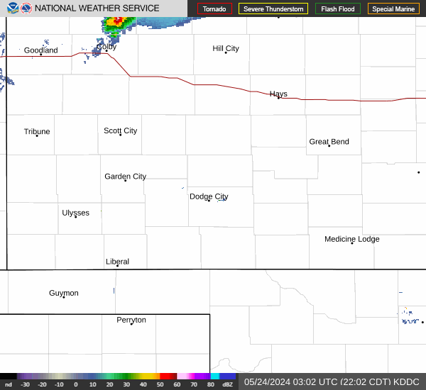
Link to Local Radar Data Link to Satellite Data

Hourly Weather Forecast

National Digital Forecast Database