October Heat Wave in California; Tropical Cyclone Possible in the Gulf
Much higher than typical October temperatures will continue across coastal southern California up through the Bay Area and Central Valley through midweek resulting in result in Major to Extreme HeatRisk. A tropical depression is likely to form over the Gulf of America during the middle part of this week with further strengthening possible as it moves northeastward later this week. Read More >

Dodge City, Dodge City Regional Airport (KDDC)
Lat: 37.77°NLon: 99.97°WElev: 2592ft.
Fair
86°F
30°C
| Humidity | 33% |
| Wind Speed | S 13 G 24 mph |
| Barometer | 29.95 in (1011.4 mb) |
| Dewpoint | 54°F (12°C) |
| Visibility | 8.00 mi |
| Heat Index | 84°F (29°C) |
| Last update | 6 Oct 4:52 pm CDT |
Cimarron KS
Tonight

Low: 57 °F
Mostly Clear
Wednesday

High: 85 °F
Sunny
Wednesday Night
Low: 57 °F
Mostly Clear
Thursday
High: 84 °F
Sunny
Thursday Night

Low: 59 °F
Clear
Friday
High: 84 °F
Sunny then
Sunny and
BreezyFriday Night
Low: 61 °F
Clear
Saturday

High: 84 °F
Sunny and
WindySaturday Night
Low: 62 °F
Clear and
Breezy then
Clear
Detailed Forecast
Additional Forecasts and Information
 Forecast Area
ABOUT THIS FORECAST
37.82°N 100.35°W (Elev. 2717 ft)


Additional Resources
Radar & Satellite Image
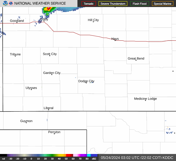

Hourly Weather Forecast