Tropical Storm Edouard Impacting the Northwestern Gulf Coast; Hazardous Heat expands in the East
Tropical Storm Edouard will impact the northwestern Gulf Coast through Wednesday with gusty winds, storm surge, and heavy rainfall. Flash and river flooding will be possible, especially in southeastern Texas. Hazardous heat will expand across the central and eastern U.S. by mid-week, and daily chances for severe thunderstorms are expected from the eastern Great Lakes to the Mid-Atlantic this week. Read More >

Hazardous Weather Conditions
Lexington Blue Grass Airport (KLEX)
Lat: 38.03°NLon: 84.61°WElev: 955ft.
Fair
77°F
25°C
| Humidity | 82% |
| Wind Speed | S 5 mph |
| Barometer | 30.09 in (1017.7 mb) |
| Dewpoint | 71°F (22°C) |
| Visibility | 10.00 mi |
| Heat Index | 79°F (26°C) |
| Last update | 1 Sep 10:54 pm EDT |
Wilmore KY
NOW until 8:00pm Thu

Heat Advisory
Tonight
Low: 73 °F
Clear
Wednesday

High: 95 °F
Hot
Wednesday Night
Low: 74 °F
Clear
Thursday
High: 97 °F
Hot
Thursday Night

Low: 75 °F
Mostly Clear
Friday
High: 95 °F
Hot
Friday Night
Low: 71 °F
Mostly Clear
Saturday

High: 92 °F
Chance
T-storms
Detailed Forecast
Additional Forecasts and Information
 Forecast Area
ABOUT THIS FORECAST
37.86°N 84.65°W (Elev. 843 ft)


Additional Resources
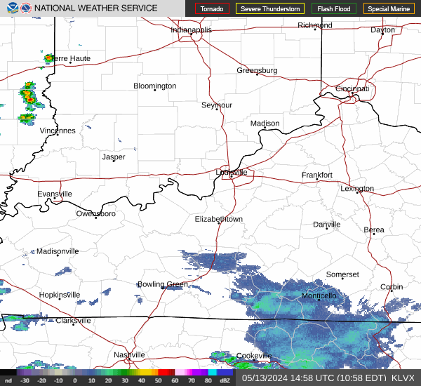
Radar & Satellite Image

Hourly Weather Forecast