Storm Continues to Impact the West Tuesday; Heavy to Excessive Rainfall for Eastern Florida
A storm will continue tracking across the western U.S. Tuesday with areas of low elevation rain, mountain snow, and gusty winds. Heavy to excessive rainfall will likely bring flash and urban flooding impacts along the I-95 corridor of Florida starting Tuesday. Read More >

Hazardous Weather Conditions
MIDDLE PEAK (MDEC1)
Lat: 37.92778°NLon: 122.58722°WElev: 2339.0ft.NA
41°F
5°C
| Humidity | 89% |
| Wind Speed | NNW 13 MPH |
| Barometer | NA |
| Dewpoint | 38°F (3°C) |
| Visibility | NA |
| Wind Chill | 34°F (1°C) |
| Last update | 16 Nov 10:36 PM PST |
4 Miles ESE Bolinas CA
NOW until 4:00am Tue

High Surf Advisory
Tonight

Low: 51 °F
Slight Chance
RainTuesday

High: 59 °F
Mostly Sunny
Tuesday Night
Low: 56 °F⇑
Windy.
Increasing
Clouds then
ShowersWednesday
High: 61 °F
Rain and
Breezy then
Chance RainWednesday Night

Low: 53 °F
Showers
Thursday

High: 57 °F
Showers and
WindyThursday Night

Low: 51 °F
Chance Rain
and BreezyFriday
High: 55 °F
Mostly Sunny
then Patchy
Fog
Detailed Forecast
Additional Forecasts and Information
 Forecast Area
ABOUT THIS FORECAST
37.87°N 122.64°W (Elev. 0 ft)


Additional Resources
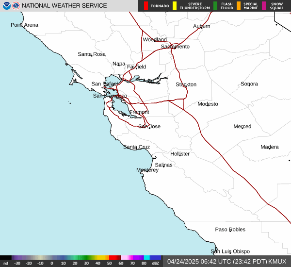
Radar & Satellite Image

Hourly Weather Forecast