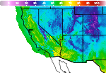
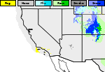
Areas of Hazardous Weather This Weekend
A series of cold fronts from North Pacific storms will bring periods of gusty winds, low elevation rainfall, and high elevation snow to the Pacific Northwest this weekend into next week. Heavy to excessive rainfall may produce areas of flooding over southern Texas this weekend. Read More >

Hazardous Weather Conditions
MIDDLE PEAK (MDEC1)
Lat: 37.92778°NLon: 122.58722°WElev: 2339.0ft.NA
51°F
11°C
| Humidity | 98% |
| Wind Speed | NW 12 MPH |
| Barometer | NA |
| Dewpoint | 50°F (10°C) |
| Visibility | NA |
| Last update | 07 Nov 08:36 PM PST |
4 Miles ESE Bolinas CA
NOW until 12:00pm Tue

Coastal Flood Advisory
Tonight
Low: 57 °F
Partly Cloudy
Sunday

High: 59 °F
Patchy Fog
Sunday Night

Low: 57 °F
Mostly Cloudy
Monday

High: 62 °F
Mostly Cloudy
Monday Night

Low: 58 °F
Mostly Clear
Tuesday
High: 62 °F
Mostly Sunny
then Patchy
FogTuesday Night
Low: 57 °F
Mostly Clear
Veterans Day

High: 63 °F
Sunny
Detailed Forecast
Additional Forecasts and Information
 Forecast Area
ABOUT THIS FORECAST
37.88°N 122.61°W (Elev. 226 ft)


Additional Resources
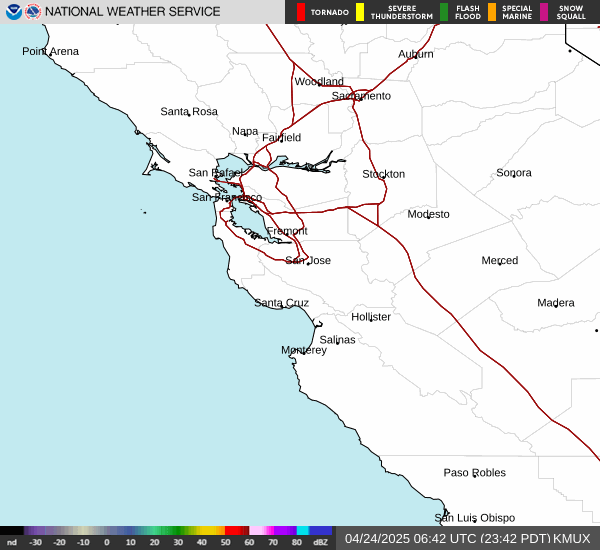
Radar & Satellite Image

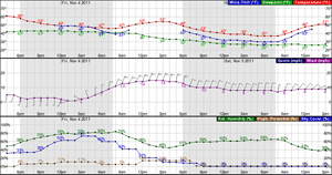
Hourly Weather Forecast