Areas of Severe Thunderstorms and Heat

Scattered severe thunderstorms and excessive rainfall are possible today in the Mid Atlantic, posing a risk for damaging winds and isolated flash flooding. Extreme Heat Warnings are in effect today for northeast Texas into southern Oklahoma and Arkansas. Extreme Heat Warnings are also in effect for the Desert Southwest today into Sunday. Read More >

Current conditions at

CAPITOL REEF NP (CRN)

Lat: 38.2898°NLon: 111.2619°WElev: 5500.0ft.

NA

96°F

36°C

Humidity 17%
Wind Speed ESE 3 MPH
Barometer NA
Dewpoint 46°F (8°C)
Visibility NA
Heat Index92°F (33°C)
Last update 20 Aug 12:30 PM MDT
Extended Forecast for

Fruita UT

  • This Afternoon

    This Afternoon: A 40 percent chance of showers and thunderstorms.  Partly sunny, with a high near 94. East southeast wind around 7 mph becoming west southwest.

    High: 94 °F

    Chance
    T-storms

  • Tonight

    Tonight: A 20 percent chance of showers and thunderstorms before 9pm.  Partly cloudy, with a low around 71. West wind 7 to 11 mph.

    Low: 71 °F

    Slight Chance
    T-storms then
    Partly Cloudy

  • Friday

    Friday: A 10 percent chance of showers and thunderstorms after 3pm.  Mostly sunny, with a high near 94. Light and variable wind becoming southeast 5 to 8 mph in the afternoon.

    High: 94 °F

    Mostly Sunny
    then Slight
    Chance
    T-storms

  • Friday Night

    Friday Night: A chance of showers and thunderstorms.  Mostly cloudy, with a low around 70. West wind 8 to 10 mph.  Chance of precipitation is 40%.

    Low: 70 °F

    Slight Chance
    T-storms then
    Chance
    Showers

  • Saturday

    Saturday: A slight chance of showers, then showers likely and possibly a thunderstorm after noon.  Mostly cloudy, with a high near 89. West wind 5 to 7 mph becoming east southeast in the afternoon.  Chance of precipitation is 60%.

    High: 89 °F

    Slight Chance
    Showers then
    Showers
    Likely

  • Saturday Night

    Saturday Night: Mostly cloudy, with a low around 67.

    Low: 67 °F

    Mostly Cloudy

  • Sunday

    Sunday: A 30 percent chance of showers and thunderstorms after noon.  Mostly sunny, with a high near 88.

    High: 88 °F

    Mostly Sunny
    then Chance
    T-storms

  • Sunday Night

    Sunday Night: A slight chance of showers and thunderstorms before midnight.  Mostly cloudy, with a low around 67.

    Low: 67 °F

    Slight Chance
    T-storms then
    Mostly Cloudy

  • Monday

    Monday: A chance of showers and thunderstorms after noon.  Partly sunny, with a high near 86.

    High: 86 °F

    Mostly Sunny
    then Chance
    T-storms

Detailed Forecast

This Afternoon
A 40 percent chance of showers and thunderstorms. Partly sunny, with a high near 94. East southeast wind around 7 mph becoming west southwest.
Tonight
A 20 percent chance of showers and thunderstorms before 9pm. Partly cloudy, with a low around 71. West wind 7 to 11 mph.
Friday
A 10 percent chance of showers and thunderstorms after 3pm. Mostly sunny, with a high near 94. Light and variable wind becoming southeast 5 to 8 mph in the afternoon.
Friday Night
A chance of showers and thunderstorms. Mostly cloudy, with a low around 70. West wind 8 to 10 mph. Chance of precipitation is 40%.
Saturday
A slight chance of showers, then showers likely and possibly a thunderstorm after noon. Mostly cloudy, with a high near 89. West wind 5 to 7 mph becoming east southeast in the afternoon. Chance of precipitation is 60%.
Saturday Night
Mostly cloudy, with a low around 67.
Sunday
A 30 percent chance of showers and thunderstorms after noon. Mostly sunny, with a high near 88.
Sunday Night
A slight chance of showers and thunderstorms before midnight. Mostly cloudy, with a low around 67.
Monday
A chance of showers and thunderstorms after noon. Partly sunny, with a high near 86.
Monday Night
A slight chance of showers and thunderstorms before midnight. Partly cloudy, with a low around 65.
Tuesday
A slight chance of showers and thunderstorms. Mostly sunny, with a high near 88.
Tuesday Night
Partly cloudy, with a low around 67.
Wednesday
A chance of showers and thunderstorms. Mostly sunny, with a high near 89.
Basemap Options
Click map to change the forecast location
Loading map...

ABOUT THIS FORECAST

 
Point Forecast:
Fruita UT
 38.3°N 111.25°W (Elev. 6148 ft)
12:31 pm MDT Aug 20, 2026
12pm MDT Aug 20, 2026-6pm MDT Aug 26, 2026
 
Get as KML Get as XML

Additional Resources

Radar & Satellite Image
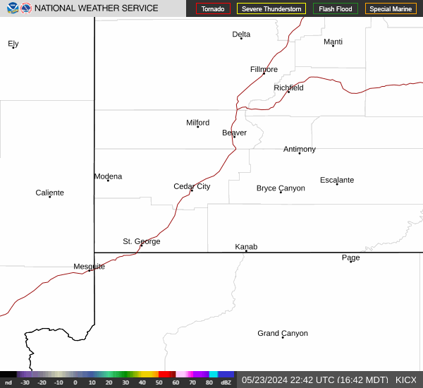
Link to Local Radar Data Link to Satellite Data

Hourly Weather Forecast

National Digital Forecast Database