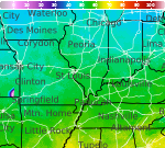
Severe Weather and Heavy Rainfall from the High Plains to the Ohio Valley; Heat Continuing in the Central Plains and Southeast
A stationary front will be the focus for daily showers and thunderstorms capable of widely scattered flash flooding and severe weather from the High Plains to the Ohio Valley. Monsoonal thunderstorms could cause local flash flooding across the Southwest and the Great Basin. Dangerous heat continues across the Central Plains and Southeast. Many areas will see their hottest temperatures of the year. Read More >

Hazardous Weather Conditions
Madison Municipal Airport (KIMS)
Lat: 38.76°NLon: 85.47°WElev: 819ft.
Light Rain
63°F
17°C
| Humidity | 100% |
| Wind Speed | E 3 mph |
| Barometer | 30.06 in |
| Dewpoint | 63°F (17°C) |
| Visibility | 7.00 mi |
| Last update | 12 Aug 8:55 am EDT |
4 Miles SSW Perry Park KY
NOW: Multiple hazards in effect

Click HERE for Details
Today

High: 90 °F
Severe
ThunderstormsTonight
Low: 71 °F
Severe
Thunderstorms
then Slight
Chance
T-stormsThursday

High: 90 °F
Chance
T-stormsThursday Night
Low: 73 °F
Chance
T-storms then
Chance
ShowersFriday

High: 91 °F
Chance
ShowersFriday Night
Low: 72 °F
Slight Chance
T-storms then
Slight Chance
ShowersSaturday

High: 92 °F
Sunny
Saturday Night

Low: 75 °F
Mostly Clear
Detailed Forecast
Additional Forecasts and Information
 Forecast Area
ABOUT THIS FORECAST
38.51°N 85.01°W (Elev. 466 ft)


Additional Resources
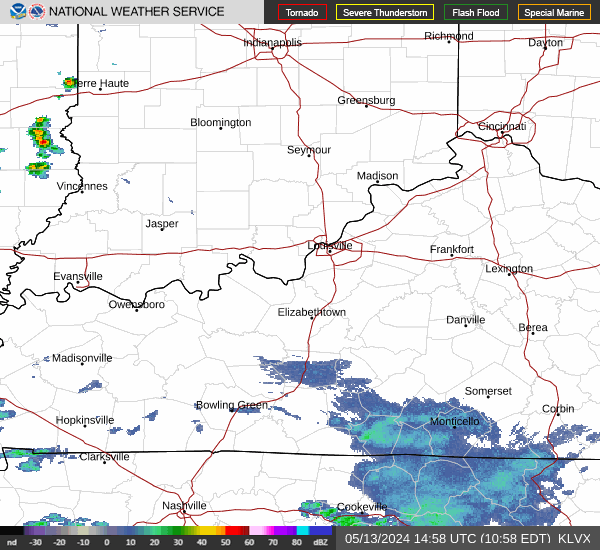
Radar & Satellite Image

Hourly Weather Forecast