News Headlines

Current conditions at
Salida - Monarch Pass (KMYP)
Lat: 38.5°NLon: 106.32°WElev: 11893ft.
Partly Cloudy
55°F
13°C
| Humidity | 41% |
| Wind Speed | W 16 G 22 mph |
| Barometer | 30.85 in |
| Dewpoint | 32°F (0°C) |
| Visibility | 10.00 mi |
| Wind Chill | 51°F (11°C) |
| Last update | 4 Oct 3:55 pm MDT |
Extended Forecast for
Garfield CO
This Afternoon

High: 55 °F
Slight Chance
T-stormsTonight

Low: 40 °F
Decreasing
CloudsMonday

High: 55 °F
Increasing
CloudsMonday Night
Low: 41 °F
Partly Cloudy
Tuesday
High: 55 °F
Mostly Sunny
then Slight
Chance
T-stormsTuesday Night
Low: 41 °F
Chance
Showers then
Partly CloudyWednesday
High: 52 °F
Sunny then
Slight Chance
T-stormsWednesday Night
Low: 39 °F
Slight Chance
Showers then
Partly CloudyThursday
High: 52 °F
Sunny then
Slight Chance
T-storms
Detailed Forecast
This Afternoon
A 10 percent chance of showers and thunderstorms before 4pm. Mostly sunny, with a high near 55. West southwest wind around 5 mph. New rainfall amounts of less than a tenth of an inch, except higher amounts possible in thunderstorms.
Tonight
Mostly cloudy, then gradually becoming clear, with a low around 40. West wind 5 to 10 mph.
Monday
Increasing clouds, with a high near 55. Northwest wind 5 to 10 mph becoming south in the afternoon.
Monday Night
Partly cloudy, with a low around 41. West northwest wind 5 to 10 mph.
Tuesday
A 10 percent chance of showers and thunderstorms after noon. Mostly sunny, with a high near 55. Northwest wind 5 to 10 mph becoming southeast in the afternoon.
Tuesday Night
A chance of showers and thunderstorms before 9pm, then a chance of showers between 9pm and midnight. Mostly cloudy, with a low around 41. South southwest wind 5 to 10 mph becoming north northwest after midnight. Chance of precipitation is 40%.
Wednesday
A 10 percent chance of showers and thunderstorms after noon. Sunny, with a high near 52. North northwest wind around 5 mph becoming south southeast in the afternoon.
Wednesday Night
A 20 percent chance of showers before midnight. Partly cloudy, with a low around 39. West wind around 5 mph.
Thursday
A 20 percent chance of showers and thunderstorms after noon. Sunny, with a high near 52. West northwest wind around 5 mph becoming southwest in the afternoon.
Thursday Night
A 10 percent chance of showers and thunderstorms before midnight. Partly cloudy, with a low around 39. West northwest wind around 5 mph.
Friday
Sunny, with a high near 51. West southwest wind 5 to 10 mph.
Friday Night
Mostly clear, with a low around 38. West southwest wind 5 to 10 mph.
Saturday
Sunny, with a high near 48. West southwest wind 10 to 15 mph.
Additional Forecasts and Information
Basemap Options
Click map to change the forecast location
Loading map...
 Forecast Area
ABOUT THIS FORECAST
Point Forecast:
Garfield CO
38.54°N 106.3°W (Elev. 11549 ft)
38.54°N 106.3°W (Elev. 11549 ft)
2:42 pm MDT Oct 4, 2026
3pm MDT Oct 4, 2026-6pm MDT Oct 10, 2026


Additional Resources
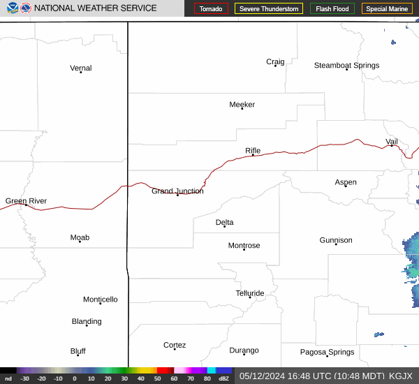
Radar & Satellite Image

Hourly Weather Forecast