

Severe Thunderstorms and Heavy Rainfall; Typhoon Watch in Guam and CNMI

Heavy to excessive rainfall will continue through tonight from the Texas Big Bend region into southern Oklahoma. Scattered damaging wind gusts and a few tornadoes may accompany a line of severe thunderstorms that is expected across the Mid-Atlantic into New England Friday. A Typhoon Watch continues for Guam and CNMI as Tropical Storm Champi will strengthen and approach the islands this weekend. Read More >

Current conditions at

MARKLEEVILLE (MKEC1)

Lat: 38.69044°NLon: 119.77497°WElev: 5501.0ft.

NA

45°F

7°C

Humidity 43%
Wind Speed S 0 MPH
Barometer NA
Dewpoint 24°F (-4°C)
Visibility NA
Last update 15 Oct 10:48 PM PDT
Extended Forecast for

3 Miles SW Monitor Pass CA

Lake Wind Advisory until October 16, 02:00am
Click here for hazard details and duration
Lake Wind Advisory
  •  
    Lake Wind Advisory until October 16, 02:00am

    NOW until 2:00am Fri

    Lake Wind Advisory

  • Tonight

    Low: 34 °F

    Mostly Clear

  • Friday

    Friday: Sunny, with a high near 66. East wind 5 to 10 mph.

    High: 66 °F

    Sunny

  • Friday Night

    Friday Night: Clear, with a low around 38. East wind around 5 mph becoming southwest after midnight.

    Low: 38 °F

    Clear

  • Saturday

    Saturday: Sunny, with a high near 68. Southwest wind around 5 mph becoming north in the afternoon.

    High: 68 °F

    Sunny

  • Saturday Night

    Saturday Night: Clear, with a low around 35. Northwest wind 5 to 10 mph becoming southwest in the evening.

    Low: 35 °F

    Clear

  • Sunday

    Sunday: Sunny, with a high near 66. West wind 5 to 10 mph.

    High: 66 °F

    Sunny

  • Sunday Night

    Sunday Night: Clear, with a low around 38.

    Low: 38 °F

    Clear

  • Monday

    Monday: Sunny, with a high near 59. Breezy.

    High: 59 °F

    Sunny and
    Breezy

Detailed Forecast

Tonight
Mostly clear, with a low around 34. Northeast wind around 5 mph.
Friday
Sunny, with a high near 66. East wind 5 to 10 mph.
Friday Night
Clear, with a low around 38. East wind around 5 mph becoming southwest after midnight.
Saturday
Sunny, with a high near 68. Southwest wind around 5 mph becoming north in the afternoon.
Saturday Night
Clear, with a low around 35. Northwest wind 5 to 10 mph becoming southwest in the evening.
Sunday
Sunny, with a high near 66. West wind 5 to 10 mph.
Sunday Night
Clear, with a low around 38.
Monday
Sunny, with a high near 59. Breezy.
Monday Night
A slight chance of showers after 5am. Snow level 8800 feet lowering to 7900 feet after midnight . Partly cloudy, with a low around 33.
Tuesday
A slight chance of rain and snow showers before 8am, then a slight chance of snow showers between 8am and 11am, then a chance of rain and snow showers after 11am. Snow level 7800 feet. Partly sunny, with a high near 48.
Tuesday Night
Rain and snow showers likely. Snow level 8100 feet lowering to 7500 feet after midnight . Mostly cloudy, with a low around 31.
Wednesday
A chance of rain and snow showers. Snow level 7200 feet rising to 8000 feet in the afternoon. Partly sunny, with a high near 45.
Wednesday Night
A chance of rain and snow showers. Snow level 7900 feet. Mostly cloudy, with a low around 31.
Thursday
Mostly sunny, with a high near 48.
Basemap Options
Click map to change the forecast location
Loading map...

ABOUT THIS FORECAST

 
Point Forecast:
3 Miles SW Monitor Pass CA
 38.65°N 119.66°W (Elev. 7178 ft)
4:30 pm PDT Oct 15, 2026
11pm PDT Oct 15, 2026-6pm PDT Oct 22, 2026
 
Get as KML Get as XML

Additional Resources

Radar & Satellite Image
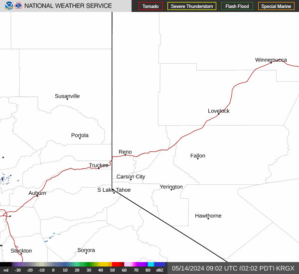
Link to Local Radar Data Link to Satellite Data

Hourly Weather Forecast

National Digital Forecast Database


