

Isaias Expected To Be A Strong Hurricane Approaching The Northern Gulf Coast Friday

Isaias is expected to strengthen and be a strong hurricane when it approaches the northern Gulf Coast on Friday. Damaging hurricane-force winds and life-threatening storm surge impacts are expected Friday into Saturday. Isaias will bring heavy rainfall to the northern Gulf Coast and much of the Southeast U.S. Friday into the weekend. Read More >

Current conditions at

FISH SPRINGS (FISN2)

Lat: 38.92469°NLon: 119.64175°WElev: 5230.0ft.

NA

56°F

13°C

Humidity 37%
Wind Speed SW 2 MPH
Barometer NA
Dewpoint 30°F (-1°C)
Visibility NA
Last update 08 Oct 03:38 AM PDT
Extended Forecast for

4 Miles SSE Gardnerville NV

  • Overnight

    Overnight: Clear, with a low around 53. Calm wind.

    Low: 53 °F

    Clear

  • Thursday

    Thursday: Sunny, with a high near 86. Calm wind becoming north around 5 mph in the afternoon.

    High: 86 °F

    Sunny

  • Thursday Night

    Thursday Night: Mostly clear, with a low around 53. North wind around 5 mph becoming south in the evening.

    Low: 53 °F

    Mostly Clear

  • Friday

    Friday: Sunny, with a high near 84. South wind 5 to 10 mph becoming west 10 to 15 mph in the afternoon. Winds could gust as high as 30 mph.

    High: 84 °F

    Sunny

  • Friday Night

    Friday Night: Clear, with a low around 51. Breezy, with a southwest wind 10 to 20 mph, with gusts as high as 30 mph.

    Low: 51 °F

    Clear then
    Clear and
    Breezy

  • Saturday

    Saturday: Sunny, with a high near 72. Breezy, with a southwest wind 15 to 25 mph, with gusts as high as 40 mph.

    High: 72 °F

    Sunny and
    Breezy

  • Saturday Night

    Saturday Night: Mostly clear, with a low around 42. Breezy.

    Low: 42 °F

    Mostly Clear
    and Breezy
    then Mostly
    Clear

  • Sunday

    Sunday: A chance of showers, mainly after 11am.  Partly sunny, with a high near 62.

    High: 62 °F

    Chance
    Showers

  • Sunday Night

    Sunday Night: Showers likely, mainly before 11pm.  Mostly cloudy, with a low around 38.

    Low: 38 °F

    Showers
    Likely

Detailed Forecast

Overnight
Clear, with a low around 53. Calm wind.
Thursday
Sunny, with a high near 86. Calm wind becoming north around 5 mph in the afternoon.
Thursday Night
Mostly clear, with a low around 53. North wind around 5 mph becoming south in the evening.
Friday
Sunny, with a high near 84. South wind 5 to 10 mph becoming west 10 to 15 mph in the afternoon. Winds could gust as high as 30 mph.
Friday Night
Clear, with a low around 51. Breezy, with a southwest wind 10 to 20 mph, with gusts as high as 30 mph.
Saturday
Sunny, with a high near 72. Breezy, with a southwest wind 15 to 25 mph, with gusts as high as 40 mph.
Saturday Night
Mostly clear, with a low around 42. Breezy.
Sunday
A chance of showers, mainly after 11am. Partly sunny, with a high near 62.
Sunday Night
Showers likely, mainly before 11pm. Mostly cloudy, with a low around 38.
Columbus Day
A chance of showers. Partly sunny, with a high near 58.
Monday Night
A chance of showers. Mostly cloudy, with a low around 36.
Tuesday
A chance of showers. Snow level 7700 feet rising to 8600 feet in the afternoon. Mostly sunny, with a high near 61.
Tuesday Night
A slight chance of showers. Mostly clear, with a low around 37.
Wednesday
Sunny, with a high near 65.
Basemap Options
Click map to change the forecast location
Loading map...

ABOUT THIS FORECAST

 
Point Forecast:
4 Miles SSE Gardnerville NV
 38.89°N 119.69°W (Elev. 4984 ft)
12:20 am PDT Oct 8, 2026
3am PDT Oct 8, 2026-6pm PDT Oct 14, 2026
 
Get as KML Get as XML

Additional Resources

Radar & Satellite Image
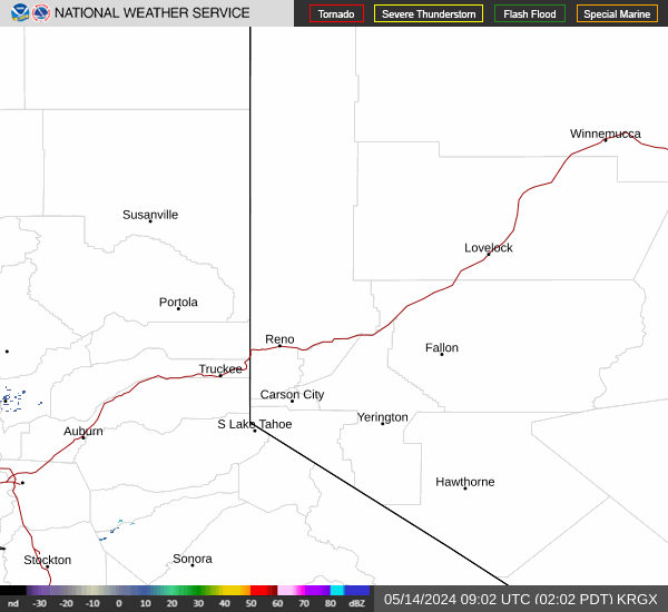
Link to Local Radar Data Link to Satellite Data

Hourly Weather Forecast

National Digital Forecast Database


