



Hurricane Isaias to Approach the Northern Gulf Coast on Friday
Isaias is expected to approach the northern Gulf Coast as a strong hurricane on Friday, bringing life-threatening storm surge, damaging winds, heavy rain, and severe thunderstorms across the region and Southeast into the weekend, with risks of flooding and tornadoes. Read More >

Hazardous Weather Conditions
Current conditions at
TAH7300-DL Bliss (LIB02)
Lat: 38.97561°NLon: 120.10027°WElev: 6827.0ft.NA
71°F
22°C
| Humidity | 25% |
| Wind Speed | ENE 1 MPH |
| Barometer | NA |
| Dewpoint | 33°F (1°C) |
| Visibility | NA |
| Last update | 08 Oct 12:50 PM PDT |
Extended Forecast for
7 Miles W South Lake Tahoe CA
Lake Wind Advisory October 10, 05:00am until October 10, 11:00pm
This Afternoon

High: 71 °F
Sunny
Tonight

Low: 56 °F
Mostly Clear
Friday
High: 66 °F
Sunny
Friday Night
Low: 51 °F
Mostly Clear
Saturday
High: 55 °F
Sunny
Saturday Night

Low: 41 °F
Mostly Clear
and BreezySunday

High: 46 °F
Chance
ShowersSunday Night

Low: 36 °F
Rain/Snow
LikelyColumbus Day

High: 42 °F
Rain/Snow
Likely
Detailed Forecast
This Afternoon
Sunny, with a high near 71. Calm wind becoming northeast around 5 mph.
Tonight
Mostly clear, with a low around 56. Calm wind.
Friday
Sunny, with a high near 66. Light southwest wind increasing to 5 to 10 mph in the afternoon. Winds could gust as high as 20 mph.
Friday Night
Mostly clear, with a low around 51. Southwest wind 10 to 15 mph, with gusts as high as 25 mph.
Saturday
Sunny, with a high near 55. Southwest wind around 15 mph, with gusts as high as 30 mph.
Saturday Night
Mostly clear, with a low around 41. Breezy, with a southwest wind 15 to 20 mph, with gusts as high as 30 mph.
Sunday
A 50 percent chance of showers. Snow level 8800 feet. Partly sunny, with a high near 46.
Sunday Night
Rain showers likely before 8pm, then rain and snow showers likely. Snow level 8600 feet lowering to 8000 feet after midnight . Mostly cloudy, with a low around 36.
Columbus Day
Rain and snow showers likely. Snow level 7700 feet. Mostly cloudy, with a high near 42.
Monday Night
A chance of rain and snow showers before 2am, then a chance of snow showers. Snow level 7800 feet. Mostly cloudy, with a low around 36.
Tuesday
A slight chance of rain and snow showers. Snow level 7600 feet rising to 8600 feet in the afternoon. Mostly sunny, with a high near 46.
Tuesday Night
Mostly clear, with a low around 39.
Wednesday
Sunny, with a high near 51.
Additional Forecasts and Information
Basemap Options
Click map to change the forecast location
Loading map...
 Forecast Area
ABOUT THIS FORECAST
Point Forecast:
7 Miles W South Lake Tahoe CA
38.94°N 120.11°W (Elev. 7041 ft)
38.94°N 120.11°W (Elev. 7041 ft)
11:31 am PDT Oct 8, 2026
1pm PDT Oct 8, 2026-6pm PDT Oct 14, 2026


Additional Resources
Radar & Satellite Image
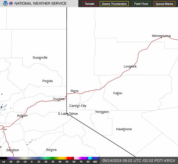

Hourly Weather Forecast


