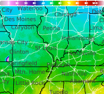
Severe Thunderstorms in the Midwest and Arizona; Heat Continues in the Southeast and Southwest
Thunderstorms, some severe, may lead to scattered instances of flash flooding across the Midwest and Ohio Valley and southern Arizona. The threat will shift to the Mid-Atlantic coast on Thursday. Dangerous heat persists in the South and Southeast while building into the Southwest. Overnight lows will be so warm that little-to-no relief from the scorching daytime highs will be available. Read More >

Hazardous Weather Conditions
Kansas City - Lee's Summit Regional Airport (KLXT)
Lat: 38.96°NLon: 94.37°WElev: 1004ft.
Partly Cloudy
82°F
28°C
| Humidity | 67% |
| Wind Speed | NW 9 mph |
| Barometer | 29.95 in (1013.1 mb) |
| Dewpoint | 70°F (21°C) |
| Visibility | 10.00 mi |
| Heat Index | 86°F (30°C) |
| Last update | 19 Aug 5:53 pm CDT |
3 Miles ENE Lake Lotawana MO
Tonight
Low: 67 °F
Chance
T-storms then
Partly CloudyThursday
High: 85 °F
Patchy Fog
then Mostly
SunnyThursday Night

Low: 66 °F
Mostly Clear
Friday

High: 89 °F
Decreasing
CloudsFriday Night
Low: 68 °F
Mostly Clear
then Slight
Chance
T-stormsSaturday

High: 88 °F
Slight Chance
T-stormsSaturday Night
Low: 67 °F
Mostly Clear
Sunday

High: 86 °F
Mostly Sunny
Sunday Night

Low: 68 °F
Mostly Cloudy
Detailed Forecast
Additional Forecasts and Information
 Forecast Area
ABOUT THIS FORECAST
38.95°N 94.2°W (Elev. 899 ft)


Additional Resources
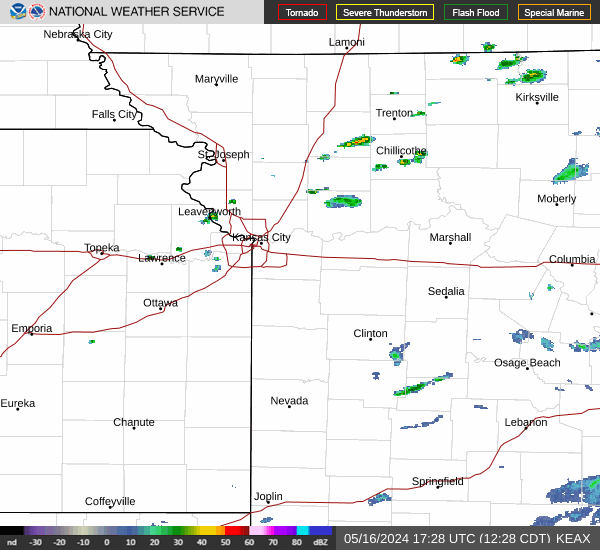
Radar & Satellite Image

Hourly Weather Forecast