



Showers and Storms continue across the East; Heat, Critical Fire Weather, Drought, and Poor Air Quality continues in the West
A series of fronts will focus locally heavy showers and storms across portions of the central and eastern U.S. through the end of the workweek. Dangerous to extreme heat continues across the Southwest U.S., eventually spreading eastward over the weekend into early next week. Elevated fire weather conditions continue across the Great Basin, with degraded air quality lingering across the Northwest. Read More >

Hazardous Weather Conditions
US-50 Sand Springs Smt (SSPNV)
Lat: 39.27382°NLon: 118.34925°WElev: 4642.0ft.NA
N/A
| Humidity | 36% |
| Wind Speed | SW 11 MPH |
| Barometer | NA |
| Dewpoint | N/A |
| Visibility | NA |
| Last update | 21 Jul 09:51 AM PDT |
15 Miles E Middlegate NV
NOW until 8:00am Sun

Heat Advisory
This Afternoon
High: 84 °F
Haze
Tonight
Low: 59 °F
Patchy Smoke
then HazeThursday
High: 84 °F
Haze
Thursday Night
Low: 60 °F
Patchy Smoke
then Mostly
ClearFriday

High: 86 °F
Sunny
Friday Night

Low: 61 °F
Partly Cloudy
Saturday
High: 85 °F
Sunny
Saturday Night
Low: 61 °F
Partly Cloudy
Detailed Forecast
Additional Forecasts and Information
 Forecast Area
ABOUT THIS FORECAST
39.29°N 117.75°W (Elev. 7949 ft)


Additional Resources
Radar & Satellite Image
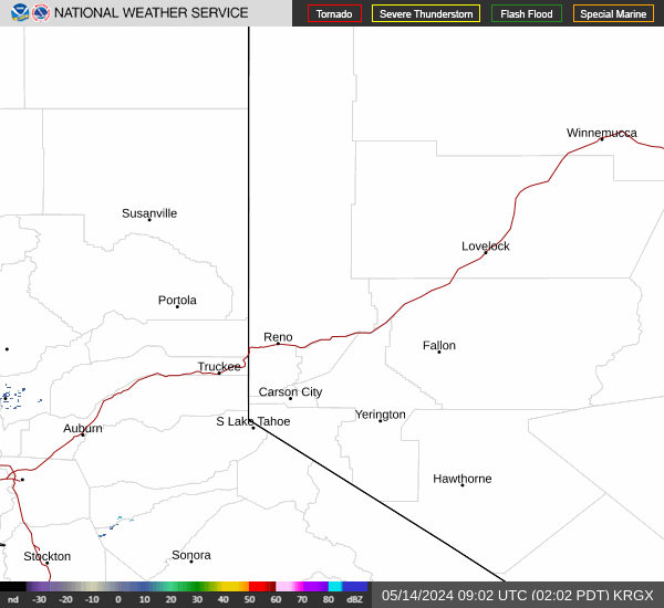

Hourly Weather Forecast


