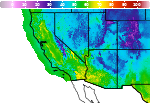
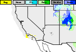
Weather Impacts for the Pacific Northwest This Week; Watching the Eastern U.S.

A series of Pacific fronts will bring periods of moderate rain, higher elevation snow, and gusty winds to the Pacific Northwest through this week. A more widespread precipitation event looks likely this weekend. In the Mid-Atlantic and Northeast U.S. a storm may bring gusty winds, low elevation rain, and high elevation wet snow Thursday into Saturday. Read More >

Current conditions at

TAHOE DONNER (TADC1)

Lat: 39.33819°NLon: 120.27339°WElev: 7399.0ft.

NA

61°F

16°C

Humidity 25%
Wind Speed ESE 3 MPH
Barometer NA
Dewpoint 25°F (-4°C)
Visibility NA
Last update 10 Nov 12:33 PM PST
Extended Forecast for

4 Miles NNW Truckee CA

Winter Storm Watch November 13, 10:00am until November 14, 10:00am
Click here for hazard details and duration
Winter Storm Watch
  • This Afternoon

    This Afternoon: Sunny, with a high near 64. Calm wind.

    High: 64 °F

    Sunny

  • Tonight

    Tonight: Clear, with a low around 29. Calm wind.

    Low: 29 °F

    Clear

  • Veterans Day

    Veterans Day: Sunny, with a high near 65. Calm wind becoming southwest around 5 mph in the morning.

    High: 65 °F

    Sunny

  • Wednesday Night

    Wednesday Night: Mostly clear, with a low around 30. South wind around 5 mph becoming calm.

    Low: 30 °F

    Mostly Clear

  • Thursday

    Thursday: Mostly sunny, with a high near 60. Calm wind becoming south around 5 mph in the afternoon.

    High: 60 °F

    Mostly Sunny

  • Thursday Night

    Thursday Night: Partly cloudy, with a low around 33. South wind 5 to 10 mph.

    Low: 33 °F

    Partly Cloudy

  • Friday

    Friday: Rain likely between 10am and 4pm, then showers and possibly a thunderstorm after 4pm.  Snow level 7200 feet rising to 7800 feet in the afternoon. High near 47. Breezy.  Chance of precipitation is 80%. New rainfall amounts between a quarter and half of an inch possible.

    High: 47 °F

    Showers and
    Breezy

  • Friday Night

    Friday Night: Rain and snow showers, becoming all snow after 1am. Some thunder is also possible.  Snow level 7100 feet lowering to 6200 feet after midnight . Cloudy, with a low around 29. Breezy.

    Low: 29 °F

    Rain/Snow and
    Breezy

  • Saturday

    Saturday: A chance of snow.  Snow level rising to 6600 feet in the afternoon. Mostly cloudy, with a high near 43.

    High: 43 °F

    Chance Snow

Detailed Forecast

This Afternoon
Sunny, with a high near 64. Calm wind.
Tonight
Clear, with a low around 29. Calm wind.
Veterans Day
Sunny, with a high near 65. Calm wind becoming southwest around 5 mph in the morning.
Wednesday Night
Mostly clear, with a low around 30. South wind around 5 mph becoming calm.
Thursday
Mostly sunny, with a high near 60. Calm wind becoming south around 5 mph in the afternoon.
Thursday Night
Partly cloudy, with a low around 33. South wind 5 to 10 mph.
Friday
Rain likely between 10am and 4pm, then showers and possibly a thunderstorm after 4pm. Snow level 7200 feet rising to 7800 feet in the afternoon. High near 47. Breezy. Chance of precipitation is 80%. New rainfall amounts between a quarter and half of an inch possible.
Friday Night
Rain and snow showers, becoming all snow after 1am. Some thunder is also possible. Snow level 7100 feet lowering to 6200 feet after midnight . Cloudy, with a low around 29. Breezy.
Saturday
A chance of snow. Snow level rising to 6600 feet in the afternoon. Mostly cloudy, with a high near 43.
Saturday Night
A chance of snow, mainly after 4am. Snow level 6500 feet. Mostly cloudy, with a low around 28.
Sunday
Rain and snow likely. Snow level rising to 7100 feet in the afternoon. Partly sunny, with a high near 42.
Sunday Night
Rain and snow likely. Snow level 6500 feet lowering to 6000 feet after midnight . Mostly cloudy, with a low around 26.
Monday
Snow likely. Mostly cloudy, with a high near 39.
Basemap Options
Click map to change the forecast location
Loading map...

ABOUT THIS FORECAST

 
Point Forecast:
4 Miles NNW Truckee CA
 39.4°N 120.22°W (Elev. 5997 ft)
10:30 am PST Nov 10, 2026
12pm PST Nov 10, 2026-6pm PST Nov 16, 2026
 
Get as KML Get as XML

Additional Resources

Radar & Satellite Image
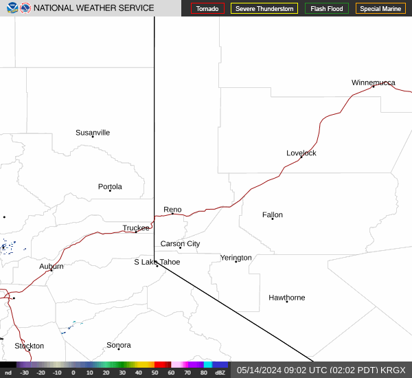
Link to Local Radar Data Link to Satellite Data

Hourly Weather Forecast

National Digital Forecast Database