



Showers and Storms in the East; Dangerously Hot and Dry in the West
A frontal boundary will bring scattered showers and storms to portions of the Central and Eastern U.S. through the end of the week. Meanwhile, dangerous heat will intensify across the Intermountain West and expand into the Central U.S. by early next week. Elevated wildfire conditions will develop across portions of the Northern/Central Plains and air quality issues will persist in the Northwest. Read More >

Hazardous Weather Conditions
US-50 Sand Springs Smt (SSPNV)
Lat: 39.27382°NLon: 118.34925°WElev: 4642.0ft.NA
N/A
| Humidity | 36% |
| Wind Speed | SW 11 MPH |
| Barometer | NA |
| Dewpoint | N/A |
| Visibility | NA |
| Last update | 21 Jul 09:51 AM PDT |
11 Miles SE Dixie Valley NV
NOW until 8:00am Sun

Heat Advisory
This Afternoon
High: 84 °F
Haze
Tonight
Low: 63 °F
Haze
Thursday
High: 84 °F
Haze
Thursday Night
Low: 65 °F
Patchy Smoke
then Mostly
ClearFriday

High: 85 °F
Sunny
Friday Night

Low: 66 °F
Partly Cloudy
Saturday
High: 86 °F
Sunny
Saturday Night

Low: 65 °F
Mostly Clear
Detailed Forecast
Additional Forecasts and Information
 Forecast Area
ABOUT THIS FORECAST
39.49°N 117.91°W (Elev. 7851 ft)


Additional Resources
Radar & Satellite Image
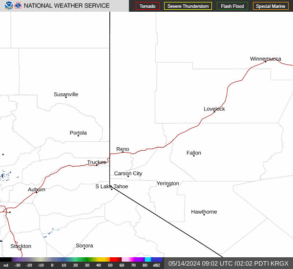

Hourly Weather Forecast


