



Heavy to Excessive Rains in The Four Corners Region and Midwest; Heat Persists in the South-Central U.S.
Repeated rounds of showers and thunderstorms could bring a flash flooding threat across the Four Corners region and from the mid-Mississippi Valley into the lower Great Lakes. Hot temperatures and high humidity will continue to challenge daily records from the Southern Plains to the lower Mississippi Valley. Read More >

Current conditions at
EW6216 RENO (E6216)
Lat: 39.50014°NLon: 119.8394°WElev: 4698.16ft.NA
64°F
18°C
| Humidity | 34% |
| Wind Speed | NW 0 MPH |
| Barometer | 30.04 in (1017.27 mb) |
| Dewpoint | 35°F (2°C) |
| Visibility | NA |
| Last update | 16 Sep 09:41 AM PDT |
Extended Forecast for
Reno NV
Today

High: 79 °F
Sunny
Tonight

Low: 48 °F
Mostly Clear
Thursday
High: 75 °F
Sunny
Thursday Night

Low: 47 °F
Clear
Friday

High: 77 °F
Sunny
Friday Night
Low: 51 °F
Clear
Saturday
High: 81 °F
Sunny
Saturday Night

Low: 54 °F
Partly Cloudy
Sunday

High: 82 °F
Mostly Sunny
Detailed Forecast
Today
Sunny, with a high near 79. East wind 5 to 10 mph becoming south 10 to 15 mph in the afternoon. Winds could gust as high as 30 mph.
Tonight
Mostly clear, with a low around 48. West wind 5 to 15 mph, with gusts as high as 30 mph.
Thursday
Sunny, with a high near 75. West wind 5 to 10 mph, with gusts as high as 20 mph.
Thursday Night
Clear, with a low around 47. West wind 10 to 15 mph becoming light after midnight.
Friday
Sunny, with a high near 77. Calm wind becoming north around 5 mph.
Friday Night
Clear, with a low around 51. North wind 5 to 10 mph becoming light in the evening.
Saturday
Sunny, with a high near 81.
Saturday Night
Partly cloudy, with a low around 54.
Sunday
Mostly sunny, with a high near 82.
Sunday Night
Partly cloudy, with a low around 55.
Monday
Mostly sunny, with a high near 83.
Monday Night
Mostly clear, with a low around 55.
Tuesday
Sunny, with a high near 83.
Additional Forecasts and Information
Basemap Options
Click map to change the forecast location
Loading map...
 Forecast Area
ABOUT THIS FORECAST
Point Forecast:
Reno NV
39.52°N 119.81°W (Elev. 4600 ft)
39.52°N 119.81°W (Elev. 4600 ft)
4:30 am PDT Sep 16, 2026
9am PDT Sep 16, 2026-6pm PDT Sep 22, 2026


Additional Resources
Radar & Satellite Image
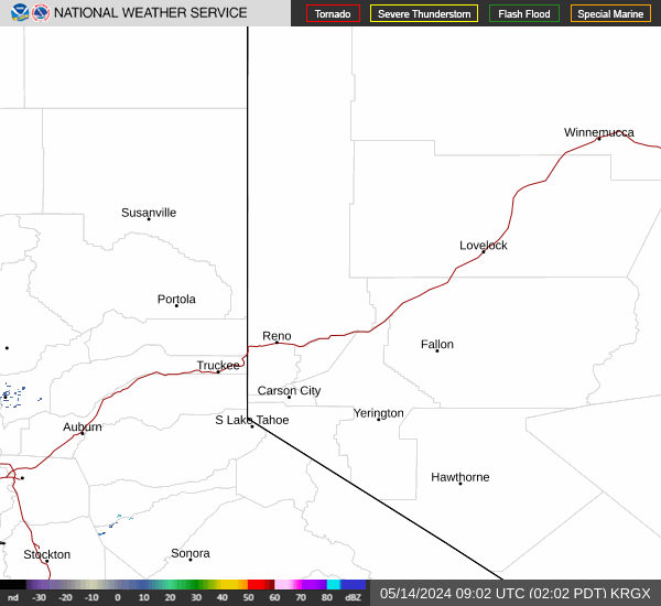

Hourly Weather Forecast


