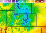
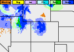
Storm Continues to Impact the West Tuesday; Heavy to Excessive Rainfall for Eastern Florida
A storm will continue tracking across the western U.S. Tuesday with areas of low elevation rain, mountain snow, and gusty winds. Heavy to excessive rainfall will likely bring flash and urban flooding impacts along the I-95 corridor of Florida starting Tuesday. Read More >

Bolinder Field-Tooele Valley Airport (KTVY)
Lat: 40.61269°NLon: 112.35362°WElev: 4291.0ft.
Overcast
52°F
11°C
| Humidity | 57% |
| Wind Speed | WSW 5 MPH |
| Barometer | 29.78 in (1008.47 mb) |
| Dewpoint | 37°F (3°C) |
| Visibility | 10.00 mi |
| Last update | 17 Nov 04:55 AM MST |
31 Miles SW Dugway UT
Overnight

Low: 42 °F
Rain
Tuesday
High: 45 °F⇓
Rain then
Rain/SnowTuesday Night
Low: 29 °F
Snow then
Mostly ClearWednesday

High: 39 °F
Increasing
CloudsWednesday Night
Low: 36 °F
Cloudy then
Cloudy and
BreezyThursday
High: 41 °F
Chance Snow
then Chance
Rain/SnowThursday Night
Low: 33 °F
Chance
Rain/Snow and
Breezy then
Chance SnowFriday

High: 37 °F
Snow Likely
Friday Night

Low: 25 °F
Partly Cloudy
Detailed Forecast
 Forecast Area
ABOUT THIS FORECAST
39.88°N 113.09°W (Elev. 5705 ft)


Additional Resources
Radar & Satellite Image
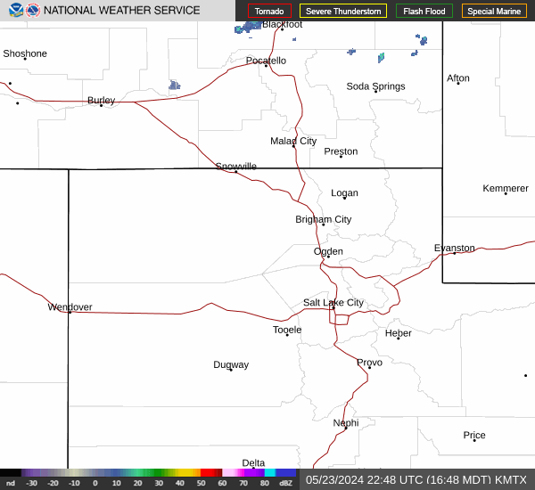

Hourly Weather Forecast