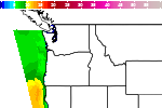
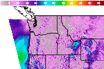
Heat Across the Center of the Nation; Severe Thunderstorms Across the Great Lakes and Ohio Valley
Heat expands across the Desert Southwest, Plains, Mississippi Valley and Midwest into Monday. Fire weather concerns continue for portions of the Intermountain West. Active monsoonal moisture fuels thunderstorms over the Southwest with possible flash flooding. Tropical cyclone Fausto in the Pacific, should weaken as it approaches Hawaii; Dangerous surf, swells and rip currents are expected. Read More >

Hazardous Weather Conditions
Last Update: 233 AM PDT Mon Jul 27 2026
For More Weather Information:
38NM NNW Fort Bragg CA
Marine Zone Forecast
...SMALL CRAFT ADVISORY IN EFFECT THROUGH TUESDAY AFTERNOON...
Today
NW wind 15 to 20 kt. Seas 5 ft. Wave detail: NW 5 ft at 6 seconds and SW 3 ft at 18 seconds.
Tonight
NW wind 15 to 20 kt. Seas 6 ft. Wave detail: NW 6 ft at 7 seconds and SW 3 ft at 17 seconds.
Tue
NW wind 20 to 25 kt with gusts up to 35 kt. Seas 6 ft. Wave detail: NW 6 ft at 7 seconds and SW 3 ft at 17 seconds.
Tue Night
NW wind 15 to 20 kt. Seas 7 ft. Wave detail: NW 7 ft at 7 seconds and SW 3 ft at 17 seconds.
Wed
NW wind 20 to 25 kt with gusts up to 35 kt. Seas 7 ft. Wave detail: NW 7 ft at 8 seconds and SW 3 ft at 17 seconds.
Wed Night
N wind 20 to 25 kt with gusts up to 35 kt. Seas around 8 ft. Wave detail: NW 8 ft at 8 seconds and S 3 ft at 16 seconds.
Thu
NW wind 20 to 25 kt. Seas 7 ft. Wave detail: NW 7 ft at 8 seconds and S 3 ft at 15 seconds.
Thu Night
N wind 20 to 25 kt. Seas 7 ft. Wave detail: NW 7 ft at 7 seconds and S 3 ft at 15 seconds.
Fri
NW wind 15 to 20 kt. Seas 6 ft. Wave detail: NW 6 ft at 7 seconds and S 3 ft at 15 seconds.
Fri Night
N wind 15 to 20 kt. Seas 7 ft. Wave detail: NW 7 ft at 7 seconds and S 3 ft at 14 seconds.
Basemap Options
Click map to change the forecast location
Loading map...
 Forecast Area
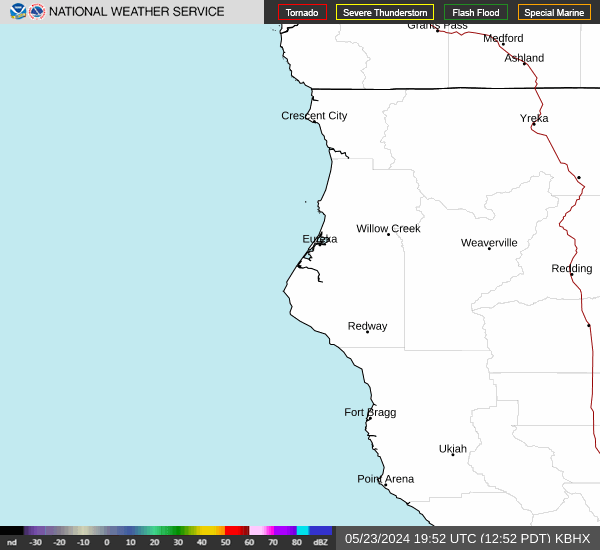
RADAR & SATELLITE IMAGES