Hazardous Weather Impacts on the East and West Coasts
A cold front will continue to progress eastward today and Friday across the Eastern Seaboard with showers and thunderstorms bringing isolated heavy rainfall, gusty to damaging winds, and a possible tornado. A series of Pacific storms will begin to push into the Pacific Northwest today with impacts from heavy rain and snow continuing through the middle of next week. Read More >

Bolinder Field-Tooele Valley Airport (KTVY)
Lat: 40.61269°NLon: 112.35362°WElev: 4291.0ft.
Clear
50°F
10°C
| Humidity | 76% |
| Wind Speed | NNE 9 MPH |
| Barometer | 30.17 in (1021.67 mb) |
| Dewpoint | 43°F (6°C) |
| Visibility | 10.00 mi |
| Wind Chill | 46°F (8°C) |
| Last update | 05 Nov 04:15 PM MST |
4 Miles SW Dugway UT
Tonight

Low: 33 °F
Mostly Clear
Friday

High: 51 °F
Sunny
Friday Night
Low: 31 °F
Mostly Clear
Saturday
High: 53 °F
Sunny
Saturday Night
Low: 35 °F
Mostly Clear
Sunday
High: 59 °F
Sunny
Sunday Night

Low: 38 °F
Partly Cloudy
Monday

High: 59 °F
Mostly Sunny
Monday Night

Low: 39 °F
Mostly Cloudy
Detailed Forecast
 Forecast Area
ABOUT THIS FORECAST
40.18°N 112.79°W (Elev. 4944 ft)


Additional Resources
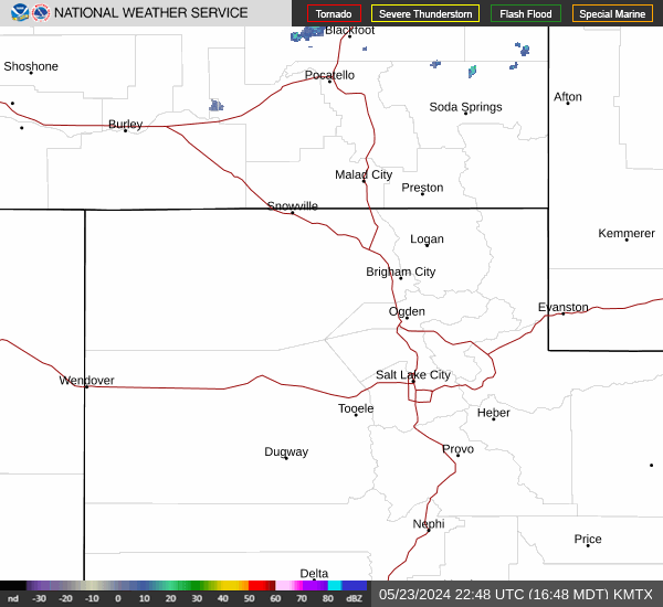
Radar & Satellite Image

Hourly Weather Forecast