Heavy Rainfall and Severe Thunderstorms in the Midwest and Southwest; Heat Continues in the Southern U.S.
Heavy to excessive rainfall could bring flooding today through Thursday across parts of the central Plains into the Midwest and southern Arizona and New Mexico. Scattered strong to severe thunderstorms may impact parts of eastern Nebraska into western Iowa later today into early evening. Heat Advisories remain in place across much of east Texas into the mid-Mississippi Valley today and Tuesday. Read More >

SR-224 at Meadows Drive (UT224)
Lat: 40.6757°NLon: 111.52115°WElev: 6697.0ft.no precip
68°F
20°C
| Humidity | 24% |
| Wind Speed | ENE 4 MPH |
| Barometer | NA |
| Dewpoint | 30°F (-1°C) |
| Visibility | 10.00 mi |
| Last update | 14 Sep 03:40 PM MDT |
Snowbird UT
Tonight

Low: 43 °F
Mostly Clear
Tuesday
High: 67 °F
Partly Sunny
then Slight
Chance
T-stormsTuesday Night

Low: 47 °F
Showers
Wednesday
High: 68 °F
Showers
Likely then
Slight Chance
T-stormsWednesday Night

Low: 49 °F
Chance
ShowersThursday
High: 67 °F
Chance
Showers then
Chance
T-stormsThursday Night
Low: 46 °F
Chance
ShowersFriday
High: 65 °F
Chance
Showers then
Slight Chance
T-stormsFriday Night
Low: 42 °F
Slight Chance
T-storms then
Mostly Clear
Detailed Forecast
 Forecast Area
ABOUT THIS FORECAST
40.57°N 111.67°W (Elev. 9298 ft)


Additional Resources
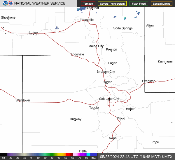
Radar & Satellite Image

Hourly Weather Forecast