River Flooding Continues in East Florida; Rain and Thunderstorms from the Mid-Atlantic to the Northeast Thursday; Heavy Rain in Puerto Rico

Significant river flooding is forecast along the St. John’s and the Peace rivers through the end of the week as flood waters will be slow to recede. Periods of rainfall and thunderstorms are expected across the Lower Great Lakes, Central Appalachians, Mid-Atlantic and Northeast Thursday and Friday. In Puerto Rico, increased moisture in the Atlantic will produce heavy rainfall for the island. Read More >

Current conditions at

SR-224 at Meadows Drive (UT224)

Lat: 40.6757°NLon: 111.52115°WElev: 6697.0ft.

no precip

38°F

3°C

Humidity 83%
Wind Speed WNW 4 MPH
Barometer NA
Dewpoint 34°F (1°C)
Visibility 10.00 mi
Wind Chill35°F (2°C)
Last update 04 Nov 10:20 PM MST
Extended Forecast for

Park City UT

  • Tonight

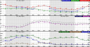
    Tonight: Partly cloudy, with a low around 30. Calm wind.

    Low: 30 °F

    Partly Cloudy

  • Thursday

    Thursday: Partly sunny, with a high near 44. Light and variable wind.

    High: 44 °F

    Partly Sunny

  • Thursday Night

    Thursday Night: Partly cloudy, with a low around 30. Light and variable wind.

    Low: 30 °F

    Partly Cloudy

  • Friday

    Friday: Mostly sunny, with a high near 42. Calm wind becoming northwest around 5 mph in the afternoon.

    High: 42 °F

    Mostly Sunny

  • Friday Night

    Friday Night: Mostly clear, with a low around 27. West northwest wind around 5 mph becoming calm  in the evening.

    Low: 27 °F

    Mostly Clear

  • Saturday

    Saturday: Sunny, with a high near 48.

    High: 48 °F

    Sunny

  • Saturday Night

    Saturday Night: Mostly clear, with a low around 32.

    Low: 32 °F

    Mostly Clear

  • Sunday

    Sunday: Sunny, with a high near 54.

    High: 54 °F

    Sunny

  • Sunday Night

    Sunday Night: Mostly clear, with a low around 35.

    Low: 35 °F

    Mostly Clear

Detailed Forecast

Tonight
Partly cloudy, with a low around 30. Calm wind.
Thursday
Partly sunny, with a high near 44. Light and variable wind.
Thursday Night
Partly cloudy, with a low around 30. Light and variable wind.
Friday
Mostly sunny, with a high near 42. Calm wind becoming northwest around 5 mph in the afternoon.
Friday Night
Mostly clear, with a low around 27. West northwest wind around 5 mph becoming calm in the evening.
Saturday
Sunny, with a high near 48.
Saturday Night
Mostly clear, with a low around 32.
Sunday
Sunny, with a high near 54.
Sunday Night
Mostly clear, with a low around 35.
Monday
Mostly sunny, with a high near 54.
Monday Night
Mostly cloudy, with a low around 35.
Tuesday
Mostly sunny, with a high near 52.
Tuesday Night
Partly cloudy, with a low around 35.
Veterans Day
Mostly sunny, with a high near 51.
Basemap Options
Click map to change the forecast location
Loading map...

ABOUT THIS FORECAST

 
Point Forecast:
Park City UT
 40.64°N 111.47°W (Elev. 7454 ft)
11:31 am MST Nov 4, 2026
10pm MST Nov 4, 2026-6pm MST Nov 11, 2026
 
Get as KML Get as XML

Additional Resources

Radar & Satellite Image
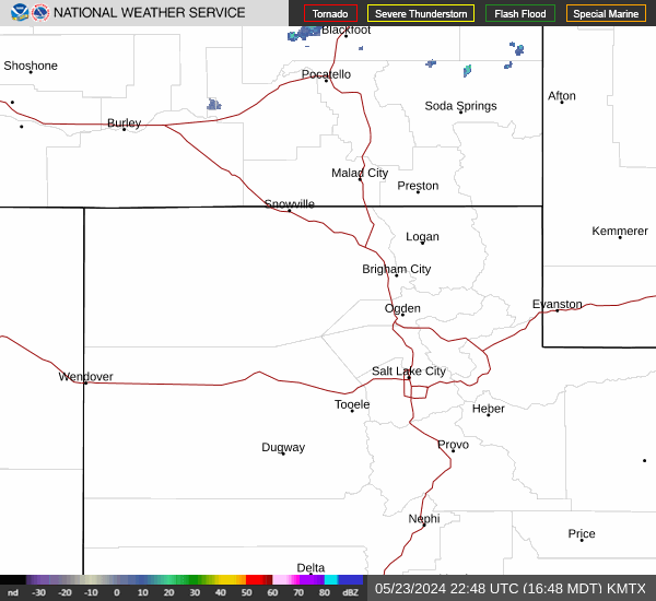
Link to Local Radar Data Link to Satellite Data

Hourly Weather Forecast

National Digital Forecast Database