Widespread Precipitation and Gusty Winds in the West; Snow from the Great Lakes to the Northeast
A Pacific storm system is expected to bring strong winds and more precipitation to the western U.S., along with the likelihood of snowfall into the Sierra Nevada. Accumulating snow will develop downwind from the Great Lakes into parts of the Northeast through Saturday. Polar air will surge into the eastern half of the country this weekend. Read More >

Hazardous Weather Conditions
Last Update: 255 AM PST Fri Nov 13 2026
For More Weather Information:
26NM N Eureka CA
Marine Zone Forecast
...STORM WARNING IN EFFECT UNTIL 6 AM PST EARLY THIS MORNING... ...GALE WARNING IN EFFECT FROM 6 AM PST THIS MORNING THROUGH THIS AFTERNOON...
Today
S wind 25 to 30 kt with gusts up to 45 kt, becoming SW 15 to 20 kt this afternoon. Seas 13 ft. Wave detail: SW 13 ft at 10 seconds and W 10 ft at 14 seconds. Showers with a slight chance of tstms.
Tonight
SW wind 15 to 20 kt. Seas 19 ft. Wave detail: S 5 ft at 8 seconds and W 19 ft at 19 seconds. Showers.
Sat
S wind 20 to 25 kt. Seas 20 ft. Wave detail: W 20 ft at 18 seconds. A chance of showers.
Sat Night
S wind 25 to 30 kt with gusts up to 40 kt. Seas around 14 ft. Wave detail: W 14 ft at 16 seconds. Showers.
Sun
S wind 10 to 15 kt. Seas 13 ft. Wave detail: W 13 ft at 14 seconds. Showers.
Sun Night
S wind 5 to 10 kt. Seas 17 ft. Wave detail: W 17 ft at 17 seconds. Showers.
Mon
S wind 5 to 10 kt. Seas 17 ft. Wave detail: W 17 ft at 17 seconds. Showers.
Mon Night
N wind 5 kt. Seas 15 ft. Wave detail: NW 15 ft at 16 seconds.
Tue
SE wind 5 to 10 kt. Seas 12 ft. Wave detail: NW 12 ft at 15 seconds. A chance of rain.
Tue Night
S wind 10 to 15 kt. Seas 9 ft. Wave detail: W 9 ft at 13 seconds. Rain.
Basemap Options
Click map to change the forecast location
Loading map...
 Forecast Area
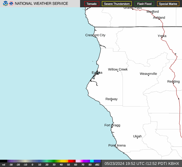
RADAR & SATELLITE IMAGES