Two Pacific Storms to Impact the Western U.S. This Week

Two Pacific storms will impact the western U.S. this week with low elevation rain, mountain snow, and gusty winds. The second storm arriving Tuesday night into Wednesday may bring heavy to excessive rainfall and possible flooding for coastal central and southern California, while heavy mountain snow is possible across the Sierra Nevada mountains. Read More >

Current conditions at

I80/US30 - Peru Hill (KCMS)

Lat: 41.54958°NLon: 109.60197°WElev: 6407.0ft.

NA

N/A

Humidity 57%
Wind Speed WNW 0 MPH
Barometer NA
Dewpoint N/A
Visibility 1.24 mi
Last update 08 Nov 11:12 AM MST
Extended Forecast for

Green River WY

  • Tonight

    Tonight: Partly cloudy, with a low around 26. Light east southeast wind.

    Low: 26 °F

    Partly Cloudy

  • Monday

    Monday: Mostly cloudy, with a high near 53. Calm wind becoming south around 6 mph in the afternoon.

    High: 53 °F

    Mostly Cloudy

  • Monday Night

    Monday Night: Mostly cloudy, then gradually becoming mostly clear, with a low around 31. South southeast wind 3 to 6 mph.

    Low: 31 °F

    Decreasing
    Clouds

  • Tuesday

    Tuesday: A slight chance of rain showers after 11am, mixing with snow after 5pm.  Partly sunny, with a high near 56. Breezy, with a south wind 7 to 12 mph increasing to 15 to 20 mph in the afternoon. Winds could gust as high as 26 mph.  Chance of precipitation is 20%.

    High: 56 °F

    Breezy.
    Slight Chance
    Showers then
    Slight Chance
    Rain/Snow

  • Tuesday Night

    Tuesday Night: Rain and snow showers before 2am, then a chance of snow showers.  Low around 25. Breezy, with a south wind 15 to 21 mph becoming west after midnight. Winds could gust as high as 33 mph.  Chance of precipitation is 90%. Little or no snow accumulation expected.

    Low: 25 °F

    Breezy.
    Rain/Snow
    then Chance
    Rain/Snow

  • Wednesday

    Wednesday: Sunny, with a high near 43. Breezy, with a west wind 12 to 17 mph becoming south 5 to 10 mph in the afternoon. Winds could gust as high as 28 mph.

    High: 43 °F

    Mostly Sunny
    and Breezy
    then Sunny

  • Wednesday Night

    Wednesday Night: Partly cloudy, with a low around 25. Southeast wind 3 to 5 mph.

    Low: 25 °F

    Partly Cloudy

  • Thursday

    Thursday: Mostly cloudy, with a high near 47.

    High: 47 °F

    Mostly Cloudy

  • Thursday Night

    Thursday Night: A 40 percent chance of snow showers, mainly after 11pm.  Mostly cloudy, with a low around 27.

    Low: 27 °F

    Chance Snow
    Showers

Detailed Forecast

Tonight
Partly cloudy, with a low around 26. Light east southeast wind.
Monday
Mostly cloudy, with a high near 53. Calm wind becoming south around 6 mph in the afternoon.
Monday Night
Mostly cloudy, then gradually becoming mostly clear, with a low around 31. South southeast wind 3 to 6 mph.
Tuesday
A slight chance of rain showers after 11am, mixing with snow after 5pm. Partly sunny, with a high near 56. Breezy, with a south wind 7 to 12 mph increasing to 15 to 20 mph in the afternoon. Winds could gust as high as 26 mph. Chance of precipitation is 20%.
Tuesday Night
Rain and snow showers before 2am, then a chance of snow showers. Low around 25. Breezy, with a south wind 15 to 21 mph becoming west after midnight. Winds could gust as high as 33 mph. Chance of precipitation is 90%. Little or no snow accumulation expected.
Wednesday
Sunny, with a high near 43. Breezy, with a west wind 12 to 17 mph becoming south 5 to 10 mph in the afternoon. Winds could gust as high as 28 mph.
Wednesday Night
Partly cloudy, with a low around 25. Southeast wind 3 to 5 mph.
Thursday
Mostly cloudy, with a high near 47.
Thursday Night
A 40 percent chance of snow showers, mainly after 11pm. Mostly cloudy, with a low around 27.
Friday
Snow showers likely. Partly sunny, with a high near 42. Chance of precipitation is 60%.
Friday Night
A chance of snow showers. Mostly cloudy, with a low around 22.
Saturday
Mostly sunny, with a high near 39.
Saturday Night
Partly cloudy, with a low around 18.
Sunday
Partly sunny, with a high near 40.
Basemap Options
Click map to change the forecast location
Loading map...

ABOUT THIS FORECAST

 
Point Forecast:
Green River WY
 41.51°N 109.47°W (Elev. 6283 ft)
7:47 pm MST Nov 15, 2026
8pm MST Nov 15, 2026-6pm MST Nov 22, 2026
 
Get as KML Get as XML

Additional Resources

Radar & Satellite Image
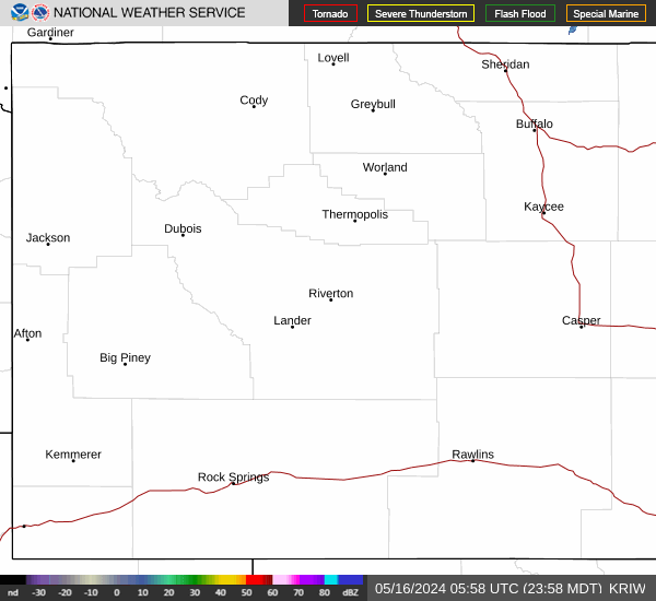
Link to Local Radar Data Link to Satellite Data

Hourly Weather Forecast

National Digital Forecast Database