Extreme Heat Across the Southern U.S.; Severe Thunderstorms and Heavy Rain in the Plains and Mississippi Valley
A heat wave over the Southwest will intensify late week, peaking and expanding into the Intermountain West and northern High Plains this weekend. Severe thunderstorms and heavy rain are expected over portions of the Plains and Mississippi Valley tonight, which will shift to parts of the Upper Midwest and mid-Mississippi Valley Friday. Monsoonal showers and flooding persist in the Desert Southwest. Read More >

Last Update: 222 PM PDT Thu Jul 30 2026
For More Weather Information:
11NM SSE Crescent City CA
Marine Zone Forecast
Tonight
N wind 5 to 10 kt. Seas 5 ft. Wave detail: NW 4 ft at 8 seconds and SW 2 ft at 15 seconds.
Fri
NW wind 5 to 10 kt. Seas 4 ft. Wave detail: NW 4 ft at 8 seconds and SW 2 ft at 15 seconds.
Fri Night
N wind 5 to 10 kt. Seas 4 ft. Wave detail: NW 4 ft at 9 seconds and SW 2 ft at 14 seconds.
Sat
N wind 15 to 20 kt. Seas 4 ft. Wave detail: NW 4 ft at 8 seconds and SW 1 foot at 14 seconds.
Sat Night
N wind 20 to 25 kt. Seas 6 ft. Wave detail: NW 6 ft at 7 seconds.
Sun
N wind 20 to 25 kt. Seas 8 ft. Wave detail: NW 8 ft at 8 seconds.
Sun Night
N wind 20 to 25 kt with gusts up to 35 kt. Seas around 10 ft. Wave detail: NW 10 ft at 9 seconds.
Mon
N wind 15 to 20 kt. Seas 8 ft. Wave detail: NW 8 ft at 9 seconds.
Mon Night
N wind 15 to 20 kt. Seas 9 ft. Wave detail: NW 9 ft at 9 seconds.
Tue
N wind 10 to 15 kt. Seas 8 ft. Wave detail: NW 8 ft at 9 seconds.
Tue Night
N wind 5 to 10 kt. Seas 9 ft. Wave detail: NW 8 ft at 9 seconds.
Basemap Options
Click map to change the forecast location
Loading map...
 Forecast Area
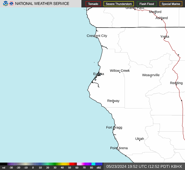
RADAR & SATELLITE IMAGES