Heavy Rainfall Threat Continues in the Southwest on Monday; Record Warmth in the Plains and Midwest
Remnant moisture from Tropical Storm Rachel will persist over portions of the Great Basin and Southwest on Monday, bringing a potential heavy to excessive rainfall risk. Well above average and potentially record breaking temperatures will develop across the Plains and Midwest early this week, spreading into the Lower Mississippi Valley and Southeast midweek. Read More >

Otis Air National Guard Base (KFMH)
Lat: 41.65°NLon: 70.52°WElev: 131ft.
Light Rain Fog/Mist
55°F
13°C
| Humidity | 100% |
| Wind Speed | NE 20 mph |
| Barometer | 29.73 in |
| Dewpoint | 55°F (13°C) |
| Visibility | 5.00 mi |
| Wind Chill | 50°F (10°C) |
| Last update | 12 Oct 2:56 am EDT |
3 Miles SSW East Sandwich MA
Overnight

Low: 55 °F
Chance
Showers and
Patchy FogColumbus Day
High: 64 °F
Patchy Fog
then Mostly
SunnyMonday Night

Low: 54 °F
Increasing
CloudsTuesday
High: 65 °F
Mostly Cloudy
then Slight
Chance
ShowersTuesday Night

Low: 58 °F
Showers
LikelyWednesday

High: 69 °F
Mostly Sunny
Wednesday Night

Low: 53 °F
Partly Cloudy
Thursday

High: 61 °F
Sunny
Thursday Night
Low: 49 °F
Partly Cloudy
then Chance
Showers
Detailed Forecast
Additional Forecasts and Information
 Forecast Area
ABOUT THIS FORECAST
41.7°N 70.46°W (Elev. 75 ft)


Additional Resources
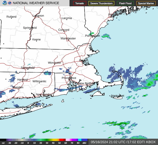
Radar & Satellite Image

Hourly Weather Forecast