Severe Thunderstorms and Heavy Rainfall; Typhoon Watch in Guam and CNMI

Heavy to excessive rainfall will continue through tonight from the Texas Big Bend region into southern Oklahoma. Scattered damaging wind gusts and a few tornadoes may accompany a line of severe thunderstorms that is expected across the Mid-Atlantic into New England Friday. A Typhoon Watch continues for Guam and CNMI as Tropical Storm Champi will strengthen and approach the islands this weekend. Read More >

Current conditions at

Sturgis, Kirsch Municipal Airport (KIRS)

Lat: 41.81°NLon: 85.44°WElev: 925ft.

Overcast

70°F

21°C

Humidity 88%
Wind Speed SW 13 G 23 mph
Barometer 29.73 in
Dewpoint 66°F (19°C)
Visibility 10.00 mi
Last update 16 Oct 12:55 am EDT
Extended Forecast for

2 Miles W Orland IN

  • Overnight

    Overnight: A 50 percent chance of showers.  Cloudy, with a low around 51. West wind around 15 mph, with gusts as high as 30 mph.

    Low: 51 °F

    Chance
    Showers

  • Friday

    Friday: Showers, mainly after 11am.  High near 57. West wind around 15 mph, with gusts as high as 30 mph.  Chance of precipitation is 80%.

    High: 57 °F

    Chance
    Showers then
    Showers

  • Friday Night

    Friday Night: A 30 percent chance of showers before 7pm.  Patchy frost after 5am.  Otherwise, partly cloudy, with a low around 34. North wind 10 to 15 mph, with gusts as high as 30 mph.

    Low: 34 °F

    Chance
    Showers then
    Patchy Frost

  • Saturday

    Saturday: Patchy frost before 9am.  Otherwise, sunny, with a high near 54. North wind 5 to 10 mph.

    High: 54 °F

    Patchy Frost
    then Sunny

  • Saturday Night

    Saturday Night: Clear, with a low around 35. Southwest wind around 5 mph.

    Low: 35 °F

    Clear

  • Sunday

    Sunday: Patchy frost before 9am.  Otherwise, sunny, with a high near 62.

    High: 62 °F

    Patchy Frost
    then Sunny

  • Sunday Night

    Sunday Night: Clear, with a low around 38.

    Low: 38 °F

    Clear

  • Monday

    Monday: Sunny, with a high near 67.

    High: 67 °F

    Sunny

  • Monday Night

    Monday Night: Partly cloudy, with a low around 42.

    Low: 42 °F

    Partly Cloudy

Detailed Forecast

Overnight
A 50 percent chance of showers. Cloudy, with a low around 51. West wind around 15 mph, with gusts as high as 30 mph.
Friday
Showers, mainly after 11am. High near 57. West wind around 15 mph, with gusts as high as 30 mph. Chance of precipitation is 80%.
Friday Night
A 30 percent chance of showers before 7pm. Patchy frost after 5am. Otherwise, partly cloudy, with a low around 34. North wind 10 to 15 mph, with gusts as high as 30 mph.
Saturday
Patchy frost before 9am. Otherwise, sunny, with a high near 54. North wind 5 to 10 mph.
Saturday Night
Clear, with a low around 35. Southwest wind around 5 mph.
Sunday
Patchy frost before 9am. Otherwise, sunny, with a high near 62.
Sunday Night
Clear, with a low around 38.
Monday
Sunny, with a high near 67.
Monday Night
Partly cloudy, with a low around 42.
Tuesday
Mostly sunny, with a high near 70.
Tuesday Night
Mostly clear, with a low around 43.
Wednesday
Sunny, with a high near 69.
Wednesday Night
Mostly clear, with a low around 45.
Thursday
Sunny, with a high near 70.
Basemap Options
Click map to change the forecast location
Loading map...

ABOUT THIS FORECAST

 
Point Forecast:
2 Miles W Orland IN
 41.72°N 85.2°W (Elev. 948 ft)
12:15 am EDT Oct 16, 2026
1am EDT Oct 16, 2026-6pm EDT Oct 22, 2026
 
Get as KML Get as XML

Additional Resources

Radar & Satellite Image
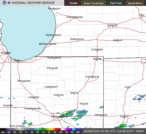
Link to Local Radar Data Link to Satellite Data

Hourly Weather Forecast

National Digital Forecast Database