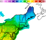
Weather Impacts for the Pacific Northwest This Week; Watching the Eastern U.S.
A series of Pacific fronts will bring periods of moderate rain, higher elevation snow, and gusty winds to the Pacific Northwest through this week. A more widespread precipitation event looks likely this weekend. In the Mid-Atlantic and Northeast U.S. a storm may bring gusty winds, low elevation rain, and high elevation wet snow Thursday into Saturday. Read More >

Otis Air National Guard Base (KFMH)
Lat: 41.65°NLon: 70.52°WElev: 131ft.
Fair
55°F
13°C
| Humidity | 55% |
| Wind Speed | SW 10 G 18 mph |
| Barometer | 29.83 in |
| Dewpoint | 39°F (4°C) |
| Visibility | 10.00 mi |
| Wind Chill | 52°F (11°C) |
| Last update | 10 Nov 12:56 pm EST |
East Sandwich MA
This Afternoon

High: 57 °F
Mostly Sunny
Tonight

Low: 45 °F
Clear
Veterans Day
High: 56 °F
Increasing
CloudsWednesday Night

Low: 43 °F
Cloudy
Thursday
High: 55 °F
Mostly Cloudy
then Slight
Chance RainThursday Night

Low: 43 °F
Rain and
BreezyFriday

High: 52 °F
Rain and
Patchy FogFriday Night

Low: 40 °F
Rain Likely
and BreezySaturday

High: 49 °F
Chance Rain
Detailed Forecast
Additional Forecasts and Information
 Forecast Area
ABOUT THIS FORECAST
41.72°N 70.42°W (Elev. 105 ft)


Additional Resources
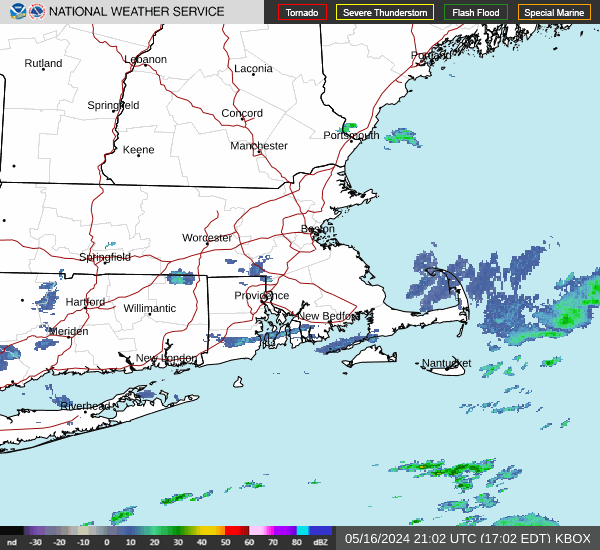
Radar & Satellite Image

Hourly Weather Forecast