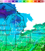
Severe Thunderstorms and Heavy Rainfall; Typhoon Watch in Guam and CNMI

Heavy to excessive rainfall will continue through tonight from the Texas Big Bend region into southern Oklahoma. Scattered damaging wind gusts and a few tornadoes may accompany a line of severe thunderstorms that is expected across the Mid-Atlantic into New England Friday. A Typhoon Watch continues for Guam and CNMI as Tropical Storm Champi will strengthen and approach the islands this weekend. Read More >

Current conditions at

Hillsdale Municipal Airport (KJYM)

Lat: 41.92°NLon: 84.59°WElev: 1171ft.

Fog/Mist

59°F

15°C

Humidity 94%
Wind Speed S 7 mph
Barometer 29.78 in
Dewpoint 57°F (14°C)
Visibility 5.00 mi
Last update 15 Oct 10:55 pm EDT
Extended Forecast for

Camden MI

  • Tonight

    Tonight: Showers likely, mainly before 5am.  Cloudy, with a low around 52. South wind 10 to 15 mph becoming west after midnight. Winds could gust as high as 30 mph.  Chance of precipitation is 70%.

    Low: 52 °F

    Showers
    Likely

  • Friday

    Friday: Showers, mainly after 10am.  High near 57. West wind around 15 mph, with gusts as high as 30 mph.  Chance of precipitation is 80%.

    High: 57 °F

    Chance
    Showers then
    Showers

  • Friday Night

    Friday Night: A 30 percent chance of showers, mainly before 7pm.  Patchy frost after 5am.  Otherwise, partly cloudy, with a low around 34. North wind 10 to 15 mph, with gusts as high as 35 mph.

    Low: 34 °F

    Chance
    Showers then
    Patchy Frost

  • Saturday

    Saturday: Patchy frost before 9am.  Otherwise, sunny, with a high near 54. North wind around 5 mph.

    High: 54 °F

    Patchy Frost
    then Sunny

  • Saturday Night

    Saturday Night: Clear, with a low around 34. Southwest wind around 5 mph.

    Low: 34 °F

    Clear

  • Sunday

    Sunday: Patchy frost before 9am.  Otherwise, sunny, with a high near 62.

    High: 62 °F

    Patchy Frost
    then Sunny

  • Sunday Night

    Sunday Night: Clear, with a low around 38.

    Low: 38 °F

    Clear

  • Monday

    Monday: Sunny, with a high near 67.

    High: 67 °F

    Sunny

  • Monday Night

    Monday Night: Partly cloudy, with a low around 41.

    Low: 41 °F

    Partly Cloudy

Detailed Forecast

Tonight
Showers likely, mainly before 5am. Cloudy, with a low around 52. South wind 10 to 15 mph becoming west after midnight. Winds could gust as high as 30 mph. Chance of precipitation is 70%.
Friday
Showers, mainly after 10am. High near 57. West wind around 15 mph, with gusts as high as 30 mph. Chance of precipitation is 80%.
Friday Night
A 30 percent chance of showers, mainly before 7pm. Patchy frost after 5am. Otherwise, partly cloudy, with a low around 34. North wind 10 to 15 mph, with gusts as high as 35 mph.
Saturday
Patchy frost before 9am. Otherwise, sunny, with a high near 54. North wind around 5 mph.
Saturday Night
Clear, with a low around 34. Southwest wind around 5 mph.
Sunday
Patchy frost before 9am. Otherwise, sunny, with a high near 62.
Sunday Night
Clear, with a low around 38.
Monday
Sunny, with a high near 67.
Monday Night
Partly cloudy, with a low around 41.
Tuesday
Mostly sunny, with a high near 69.
Tuesday Night
Mostly clear, with a low around 43.
Wednesday
Sunny, with a high near 69.
Wednesday Night
Mostly clear, with a low around 44.
Thursday
Sunny, with a high near 71.
Basemap Options
Click map to change the forecast location
Loading map...

ABOUT THIS FORECAST

 
Point Forecast:
Camden MI
 41.76°N 84.75°W (Elev. 997 ft)
10:46 pm EDT Oct 15, 2026
11pm EDT Oct 15, 2026-6pm EDT Oct 22, 2026
 
Get as KML Get as XML

Additional Resources

Radar & Satellite Image
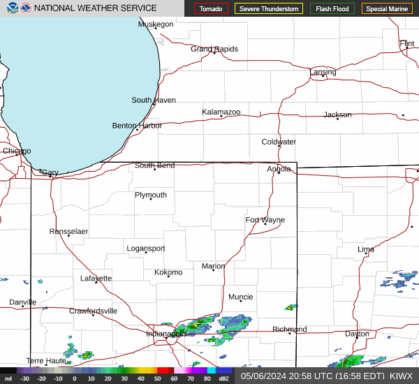
Link to Local Radar Data Link to Satellite Data

Hourly Weather Forecast

National Digital Forecast Database