Current conditions at
Wendover Airport (KENV)
Lat: 40.72056°NLon: 114.03583°WElev: 4236.0ft.
Overcast
51°F
11°C
| Humidity | 65% |
| Wind Speed | E 3 MPH |
| Barometer | 29.69 in (1005.42 mb) |
| Dewpoint | 40°F (4°C) |
| Visibility | 10.00 mi |
| Last update | 13 Nov 04:56 PM MST |
Extended Forecast for
18 Miles S Almo ID
Tonight
Low: 33 °F
Rain/Snow
Likely then
Rain/SnowSaturday
High: 37 °F
Chance Snow
and Breezy
then Mostly
SunnySaturday Night

Low: 28 °F
Mostly Clear
Sunday

High: 38 °F
Mostly Sunny
Sunday Night

Low: 31 °F
Partly Cloudy
Monday

High: 39 °F
Mostly Cloudy
Monday Night

Low: 30 °F
Rain/Snow
Tuesday
High: 32 °F
Rain/Snow
then Snow
LikelyTuesday Night

Low: 20 °F
Chance Snow
Detailed Forecast
Tonight
Rain, possibly mixed with snow. Low around 33. South southeast wind 13 to 18 mph becoming southwest after midnight. Winds could gust as high as 30 mph. Chance of precipitation is 100%. Total nighttime snow accumulation of less than a half inch possible.
Saturday
A 50 percent chance of snow before 8am. Cloudy through mid morning, then gradual clearing, with a high near 37. Breezy, with a northwest wind 15 to 22 mph. New snow accumulation of less than a half inch possible.
Saturday Night
Mostly clear, with a low around 28. Light and variable wind becoming southeast 5 to 8 mph after midnight.
Sunday
Mostly sunny, with a high near 38. South southeast wind 9 to 13 mph.
Sunday Night
Partly cloudy, with a low around 31. South southeast wind around 9 mph.
Monday
Mostly cloudy, with a high near 39.
Monday Night
Rain, possibly mixed with snow, mainly after 11pm. Low around 30. Chance of precipitation is 80%. New snow accumulation of around an inch possible.
Tuesday
Rain and snow, becoming all snow after 8am. Mostly cloudy, with a high near 32.
Tuesday Night
A chance of snow, mainly before 11pm. Mostly cloudy, with a low around 20.
Wednesday
A slight chance of snow after 11am. Mostly sunny, with a high near 29.
Wednesday Night
Snow likely. Mostly cloudy, with a low around 24.
Thursday
A chance of snow. Mostly cloudy, with a high near 28.
Thursday Night
A chance of snow. Mostly cloudy, with a low around 21.
Friday
A chance of snow. Mostly cloudy, with a high near 27.
Basemap Options
Click map to change the forecast location
Loading map...
 Forecast Area
ABOUT THIS FORECAST
Point Forecast:
18 Miles S Almo ID
41.84°N 113.65°W (Elev. 7005 ft)
41.84°N 113.65°W (Elev. 7005 ft)
2:06 pm MST Nov 13, 2026
5pm MST Nov 13, 2026-6pm MST Nov 20, 2026


Additional Resources
Radar & Satellite Image
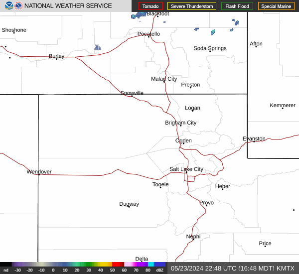

Hourly Weather Forecast