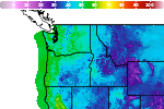
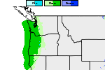
Heavy to Excessive Rainfall in Eastern Florida; Unsettled Weather Along the West Coast
Heavy to excessive rainfall will likely bring flash and urban flooding impacts along the I-95 corridor from St. Augustine to Palm Beach, Florida through this weekend. A Pacific Storm moving into the West Coast tonight through Wednesday will bring moderate to heavy rainfall to low elevations and heavy snowfall to the Sierra Nevada Mountains. Read More >

Hazardous Weather Conditions
Franklin (ITD04)
Lat: 42.01175°NLon: 111.80631°WElev: 4508.0ft.NA
40°F
4°C
| Humidity | 88% |
| Wind Speed | N 2 MPH |
| Barometer | NA |
| Dewpoint | 36°F (2°C) |
| Visibility | 1.24 mi |
| Last update | 17 Nov 05:30 AM MST |
13 Miles NW Garden City UT
Today
High: 37 °F
Snow Likely
then SnowTonight
Low: 16 °F
Snow and
Blowing SnowWednesday
High: 27 °F
Patchy
Blowing Snow
then Partly
SunnyWednesday Night

Low: 21 °F
Slight Chance
SnowThursday

High: 30 °F
Snow
Thursday Night

Low: 22 °F
Snow
Friday

High: 25 °F
Snow
Friday Night
Low: 13 °F
Snow then
Chance SnowSaturday

High: 23 °F
Partly Sunny
Detailed Forecast
 Forecast Area
ABOUT THIS FORECAST
42.06°N 111.59°W (Elev. 8996 ft)


Additional Resources
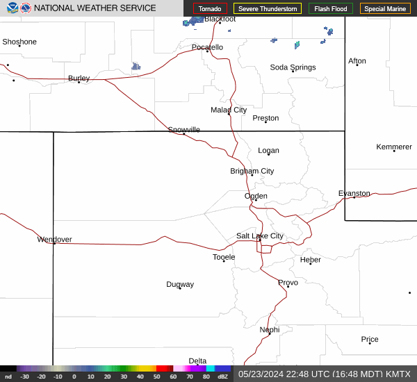
Radar & Satellite Image

Hourly Weather Forecast