Heavy Snow in the Sierra Nevada; Heavy Rainfall in Texas Sunday
Heavy snow is expected in the Sierra Nevada mountain ranges into Saturday causing hazardous travel conditions. Winter Storm Warnings have been issued. Thunderstorms and moderate to heavy rainfall are expected across portions of eastern Texas into Louisiana on Sunday. Read More >

Current conditions at
Kalamazoo/Battle Creek International Airport (KAZO)
Lat: 42.23°NLon: 85.55°WElev: 863ft.
Mostly Cloudy
39°F
4°C
| Humidity | 67% |
| Wind Speed | NW 13 mph |
| Barometer | 29.97 in (1015.6 mb) |
| Dewpoint | 29°F (-2°C) |
| Visibility | 10.00 mi |
| Wind Chill | 31°F (-1°C) |
| Last update | 13 Nov 12:53 pm EST |
Extended Forecast for
2 Miles SE Portage MI
This Afternoon

High: 42 °F
Partly Sunny
Tonight

Low: 24 °F
Mostly Clear
Saturday
High: 46 °F
Partly Sunny
Saturday Night

Low: 28 °F
Mostly Cloudy
Sunday
High: 47 °F
Partly Sunny
Sunday Night

Low: 27 °F
Partly Cloudy
Monday

High: 49 °F
Sunny
Monday Night
Low: 27 °F
Mostly Clear
Tuesday
High: 52 °F
Sunny
Detailed Forecast
This Afternoon
Partly sunny, with a high near 42. North wind around 9 mph.
Tonight
Mostly cloudy during the early evening, then becoming mostly clear, with a low around 24. Light north northwest wind.
Saturday
Partly sunny, with a high near 46. Light north northwest wind increasing to 5 to 9 mph in the morning. Winds could gust as high as 20 mph.
Saturday Night
Mostly cloudy, with a low around 28. Northwest wind around 5 mph becoming calm in the evening.
Sunday
Partly sunny, with a high near 47. Calm wind becoming north northwest 5 to 7 mph in the afternoon.
Sunday Night
Partly cloudy, with a low around 27.
Monday
Sunny, with a high near 49.
Monday Night
Mostly clear, with a low around 27.
Tuesday
Sunny, with a high near 52.
Tuesday Night
Mostly clear, with a low around 27.
Wednesday
Sunny, with a high near 55.
Wednesday Night
Partly cloudy, with a low around 32.
Thursday
Partly sunny, with a high near 59.
Additional Forecasts and Information
Basemap Options
Click map to change the forecast location
Loading map...
 Forecast Area
ABOUT THIS FORECAST
Point Forecast:
2 Miles SE Portage MI
42.18°N 85.56°W (Elev. 856 ft)
42.18°N 85.56°W (Elev. 856 ft)
1:03 pm EST Nov 13, 2026
1pm EST Nov 13, 2026-6pm EST Nov 19, 2026


Additional Resources
Radar & Satellite Image
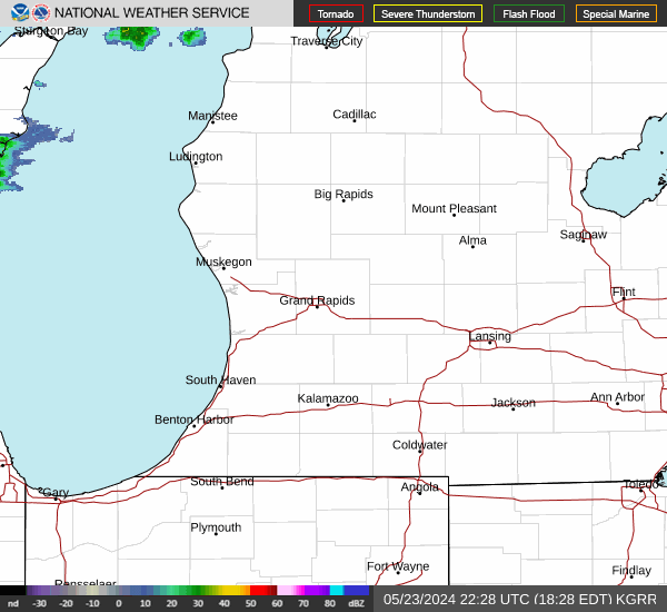

Hourly Weather Forecast