Severe Weather and Heavy Rainfall in the Midwest and Desert Southwest; Mid-Summer Heat Continues
Severe thunderstorm and heavy rainfall are possible in the Midwest into the Central Appalachians and the Desert Southwest early this week. Storms are also expected in parts of the northern Plains today. Fire weather and air quality concerns will persist across portions of the West. Mid-summer heat will continue across much of the CONUS this week, especially in the the south-central High Plains. Read More >

Kalamazoo/Battle Creek International Airport (KAZO)
Lat: 42.23°NLon: 85.55°WElev: 863ft.
Mostly Cloudy
84°F
29°C
| Humidity | 70% |
| Wind Speed | W 5 mph |
| Barometer | 29.93 in (1013.0 mb) |
| Dewpoint | 73°F (23°C) |
| Visibility | 10.00 mi |
| Heat Index | 90°F (32°C) |
| Last update | 10 Aug 2:53 pm EDT |
Oshtemo MI
This Afternoon

High: 81 °F
Slight Chance
T-stormsTonight

Low: 64 °F
Chance
T-stormsTuesday

High: 78 °F
Showers
LikelyTuesday Night
Low: 62 °F
Chance
Showers then
Slight Chance
T-stormsWednesday
High: 80 °F
Slight Chance
T-storms then
Chance
ShowersWednesday Night
Low: 62 °F
Chance
Showers then
Partly CloudyThursday

High: 79 °F
Partly Sunny
Thursday Night

Low: 60 °F
Mostly Cloudy
Friday
High: 78 °F
Partly Sunny
Detailed Forecast
Additional Forecasts and Information
 Forecast Area
ABOUT THIS FORECAST
42.25°N 85.68°W (Elev. 974 ft)


Additional Resources
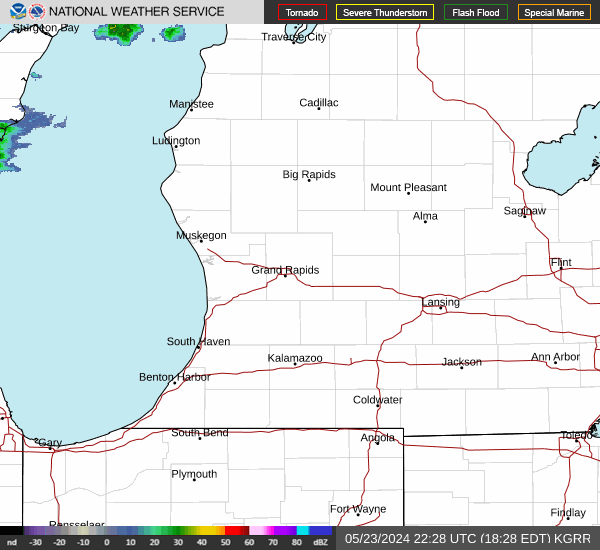
Radar & Satellite Image

Hourly Weather Forecast