Heavy Rain Continues Over Eastern Florida; Watching Storm Potential Near the Southeast U.S. Coast
Heavy to excessive rainfall will continue to threaten considerable flash and urban flooding impacts over the east central Florida coast from Palm Coast to near Melbourne through Friday. A subtropical or tropical storm may form near or offshore of the southeast U.S. coast this weekend. Regardless of development, strong winds, rough surf, coastal flooding, and heavy rain are likely. Read More >

Hazardous Weather Conditions
Conner Summit (ITD45)
Lat: 42.34617°NLon: 113.51603°WElev: 5690.0ft.NA
35°F
2°C
| Humidity | 89% |
| Wind Speed | ESE 22 MPH |
| Barometer | NA |
| Dewpoint | 32°F (0°C) |
| Visibility | 1.24 mi |
| Wind Chill | 23°F (-5°C) |
| Last update | 20 Nov 01:15 AM MST |
5 Miles W Malta ID
NOW until 11:00pm Fri

Winter Weather Advisory
Overnight

Low: 36 °F
Snow Showers
LikelyFriday

High: 34 °F⇓
Snow Showers
Friday Night
Low: 25 °F
Chance Snow
Showers then
Mostly CloudySaturday

High: 36 °F
Mostly Sunny
Saturday Night

Low: 25 °F
Mostly Cloudy
Sunday

High: 38 °F
Cloudy
Sunday Night

Low: 29 °F
Chance Snow
ShowersMonday

High: 33 °F
Chance Snow
Detailed Forecast
 Forecast Area
ABOUT THIS FORECAST
42.29°N 113.47°W (Elev. 5538 ft)


Additional Resources
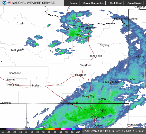
Radar & Satellite Image

Hourly Weather Forecast